Channel & Berth Profile
Pilotage, Tugs & Services
Pilotage compulsoryYES
Tug assistanceNO
Salvage tugsNO
Potable waterYES
Diesel bunkersYES
MedicalYES
Facilities & Capabilities
Container—
Ro-Ro—
Liquid bulk—
Dry bulk—
Oil terminal—
Break bulk—
Dry dock—
RepairsNO
BunkeringYES
Rail link—
Dangerous cargo—
ISPS security—
Harbour Specifications
Harbour size
Small
Harbour type
Canal or Lake
Shelter
Excellent
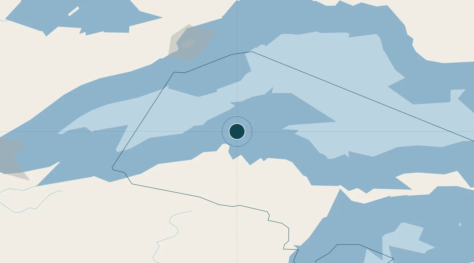
Water body
Lake Superior; Great Lakes
Overhead limit
Yes
Pilotage
Yes
Location
Nearby Logistics Neighbours
Ports
- 1Baraga38 km
- 2L Anse40 km
- 3Ontonagon64 km
- 4Presque Isle109 km
- 5Marquette111 km
Cities
- 1Lake Linden15 km
- 2Baraga37 km
- 3Ontonagon61 km
- 4Kenton74 km
- 5Bruce Crossing80 km
Airports
Trade Zones
- 1FTZ No. 051 Duluth282 km
- 2FTZ No. 167 Brown County296 km
- 3FTZ No. 016 Sault Ste. Marie324 km
- 4FTZ No. 119 Minneapolis-St. Paul432 km
- 5FTZ No. 019 Omaha448 km
DatabookThe Record of Consolidated Knowledge
United States beyond logistics?