Runway & Layout

Airport Specifications
IATA code
YBQ
Airport class
Seaplane base
Scheduled service
Yes
Served city
Thetis Island
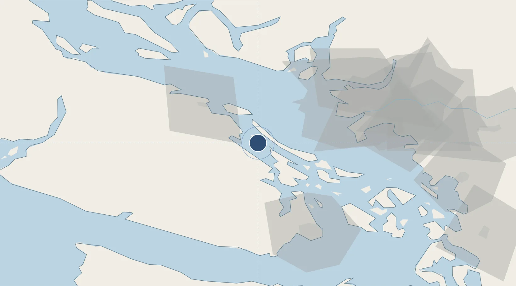
Location
Nearby Logistics Neighbours
Airports
- 1Maple Bay Seaplane Base18 km
- 2Ganges Seaplane Base18 km
- 3Nanaimo Airport18 km
- 4Silva Bay Seaplane Base20 km
- 5Montague Harbour Seaplane Base22 km
Cities
- 1Thetis Island2 km
- 2Duncan/Quam21 km
- 3Nanaimo27 km
- 4Cobble Hill32 km
- 5Robert's Bank38 km
Ports
- 1Crofton12 km
- 2Ganges19 km
- 3Harmac23 km
- 4Cowichan Bay25 km
- 5Lyall Harbor39 km
Trade Zones
- 1FTZ Vancouver Island50 km
- 2FTZ No. 128 Whatcom County83 km
- 3FTZ No. 129 Bellingham86 km
- 4FTZ No. 085 Everett152 km
- 5FTZ No. 005 Seattle174 km
DatabookThe Record of Consolidated Knowledge
Canada beyond logistics?