UN/LOCODE hub · Canada
CABIN

Burrard Inlet

49.3000°, -123.1833°
1
Transport functions

Transport Functions

Port
UN/LOCODE

Hub Profile

Region
BC
GeoNames

Location

Location of CABIN
Natural Earth 10m (public domain) · BC · CABIN · 49.30, -123.18GoogleOSMYandex

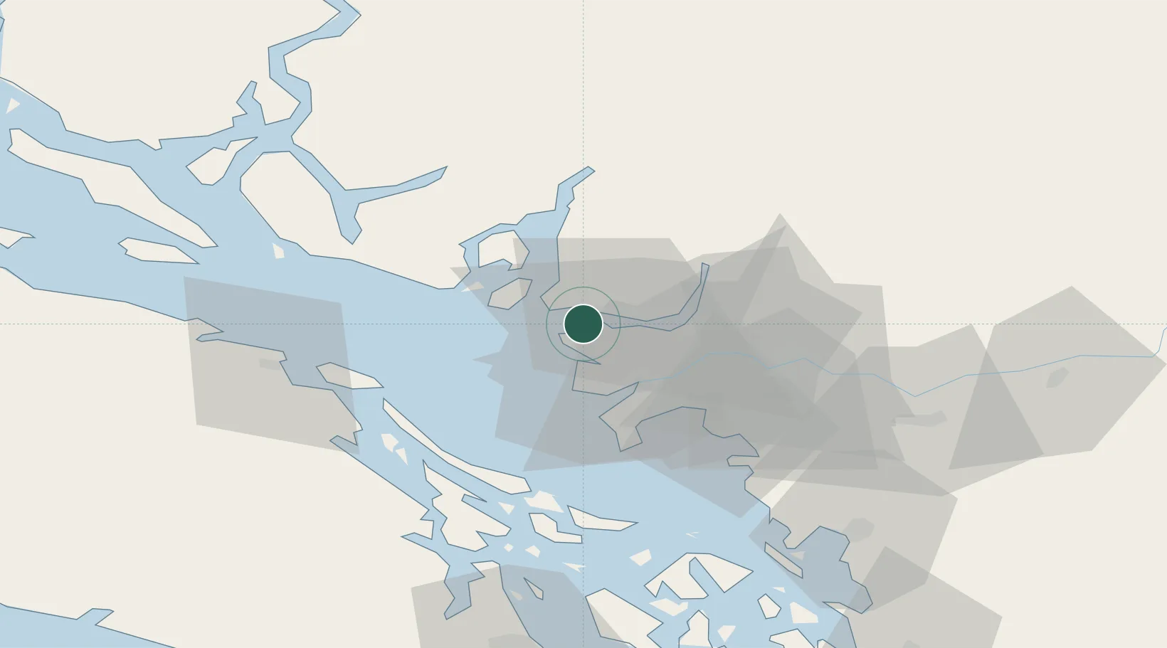
Nearby Logistics Neighbours

Cities
  1. 1English Bay4 km
  2. 2West Vancouver4 km
  3. 3North Vancouver9 km
  4. 4Bowen Island13 km
  5. 5Vancouver20 km
Nearest neighbours — logibook spatial index (haversine) over the source coordinates
Ports
  1. 1Vancouver5 km
  2. 2Steveston19 km
  3. 3Port Moody22 km
  4. 4New Westminster22 km
  5. 5Fraser Mills25 km
Nearest neighbours — logibook spatial index (haversine) over the source coordinates
Airports
  1. 1Vancouver Harbour Water Aerodrome5 km
  2. 2Harbour (Public) Heliport6 km
  3. 3Vancouver International Airport12 km
  4. 4Vancouver International Seaplane Base14 km
  5. 5Boundary Bay Airport28 km
Nearest neighbours — logibook spatial index (haversine) over the source coordinates
Trade Zones
  1. 1FTZ Vancouver Island8 km
  2. 2FTZ No. 128 Whatcom County71 km
  3. 3FTZ No. 129 Bellingham77 km
  4. 4FTZ No. 085 Everett161 km
  5. 5FTZ No. 005 Seattle195 km
Nearest neighbours — logibook spatial index (haversine) over the source coordinates
DatabookThe Record of Consolidated Knowledge
Canada beyond logistics?
Browse databook

All Sources

LocationsUN/LOCODE
UN/LOCODE — free
Portsthe NGA World Port Index
Public domain (US gov)
AirportsOurAirports
Public domain
Trade Zonesthe World Bank SEZ database
CC BY 4.0
Trade ZonesOpen Zone Map
CC BY
← Canada locations