Transport Functions
Rail
Road
Hub Profile
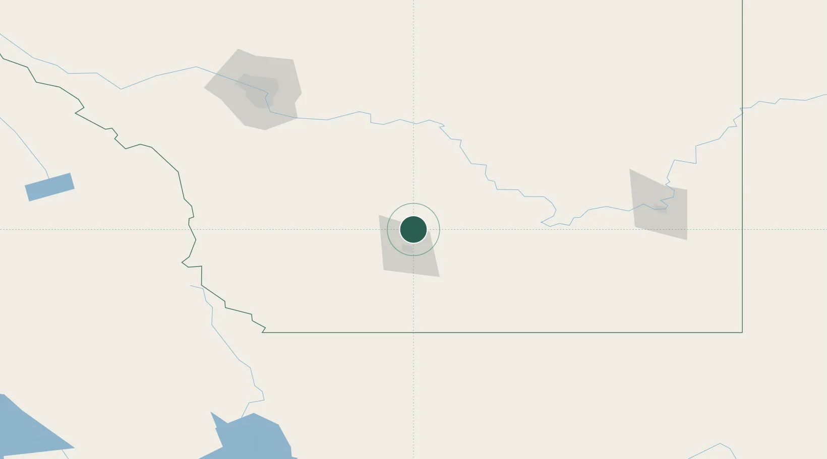
Place type
Populated place
Region
Alberta
Population
1,700
Time zone
America/Edmonton
Elevation
906 m
Location
Nearby Logistics Neighbours
Cities
- 1Iron Springs10 km
- 2Monarch25 km
- 3Cranford34 km
- 4Taber46 km
- 5Granum53 km
Ports
- 1Mission City688 km
- 2Bellingham715 km
- 3Everett719 km
- 4Port Coquitlam723 km
- 5Blaine727 km
Airports
Trade Zones
- 1FTZ No. 187 Toole County145 km
- 2Calgary Region Inland Port160 km
- 3FTZ No. 088 Great Falls280 km
- 4FTZ No. 242 Boundary County318 km
- 5Port Alberta - Edmonton FTZ420 km
DatabookThe Record of Consolidated Knowledge
Canada beyond logistics?