Transport Functions
Rail
Road
Multimodal
Hub Profile
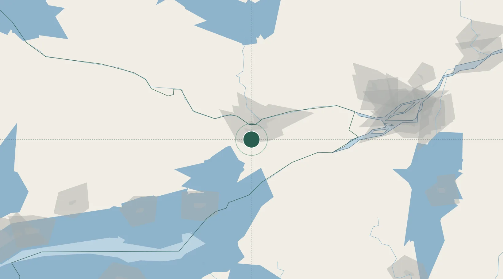
Place type
Populated place
Region
Ontario
Population
4,055
Time zone
America/Toronto
Elevation
90 m
Location
Nearby Logistics Neighbours
Cities
- 1Stittsville10 km
- 2Kemptville24 km
- 3Burritts Rapids24 km
- 4Almonte29 km
- 5Gatineau35 km
Ports
- 1Hull30 km
- 2Ottawa30 km
- 3Gatineau36 km
- 4Cumberland50 km
- 5Masson51 km
Airports
Trade Zones
- 1FTZ No. 118 Ogdensburg58 km
- 2FTZ No. 109 Watertown133 km
- 3Greater Montreal Free Zone Center181 km
- 4FTZ No. 090 Onondaga201 km
- 5FTZ No. 172 Oneida County217 km
DatabookThe Record of Consolidated Knowledge
Canada beyond logistics?