Medium airport · Canada

Ottawa / Carp AirportCYRP
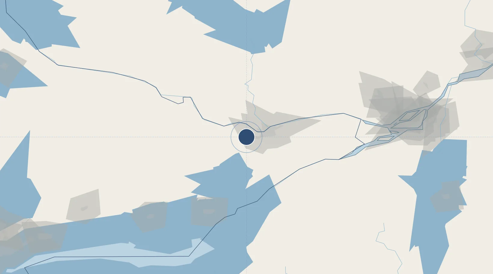
45.3192°, -76.0222°
3,937 ft
Longest runway
2
Runways
382 ft
Elevation

Runway & Layout

Ottawa / Carp Airport runway & taxiway layout
Runway & taxiway layout — OpenStreetMap (ODbL) / OurAirports

Radio Frequencies

UNICOM
122.8 MHz
Carp Unicom
ATF
122.8 MHz
Carp Traffic
TML
127.7 MHz
Ottawa Terminal
OurAirports

Runways · 2

RunwayDimensions SurfaceTrue headingLit
10/28 3,937 × 98ft Asphalt 084°
04/22 2,205 × 65ft Gravel 027°
OurAirports

Airport Specifications

ICAO code
CYRP
OurAirports
Airport class
Medium airport
OurAirports
Scheduled service
No
OurAirports
Runway surface
Asphalt
OurAirports
Served city
Ottawa
OurAirports

Location

Location of CYRP
Natural Earth 10m (public domain) · Ontario · CYRP · 45.32, -76.02GoogleOSMYandex

Nearby Logistics Neighbours

Airports
  1. 1Ottawa Macdonald-Cartier International Airport28 km
  2. 2Ottawa / Rockcliffe Airport34 km
  3. 3Smiths Falls-Montague (Russ Beach) Airport42 km
  4. 4Ottawa / Gatineau Airport42 km
  5. 5Ogdensburg International Airport83 km
Nearest neighbours — logibook spatial index (haversine) over the source coordinates
Cities
  1. 1Stittsville11 km
  2. 2Almonte18 km
  3. 3Richmond21 km
  4. 4Gatineau31 km
  5. 5Wakefield37 km
Nearest neighbours — logibook spatial index (haversine) over the source coordinates
Ports
  1. 1Hull28 km
  2. 2Ottawa28 km
  3. 3Gatineau34 km
  4. 4Masson53 km
  5. 5Cumberland53 km
Nearest neighbours — logibook spatial index (haversine) over the source coordinates
Trade Zones
  1. 1FTZ No. 118 Ogdensburg79 km
  2. 2FTZ No. 109 Watertown149 km
  3. 3Greater Montreal Free Zone Center193 km
  4. 4FTZ No. 090 Onondaga212 km
  5. 5FTZ No. 172 Oneida County231 km
Nearest neighbours — logibook spatial index (haversine) over the source coordinates
DatabookThe Record of Consolidated Knowledge
Canada beyond logistics?
Browse databook

All Sources

AirportsOurAirports
Public domain
Portsthe NGA World Port Index
Public domain (US gov)
LocationsUN/LOCODE
UN/LOCODE — free
Trade Zonesthe World Bank SEZ database
CC BY 4.0
Trade ZonesOpen Zone Map
CC BY
InfrastructureOpenStreetMap
ODbL 1.0
← Canada airports