Transport Functions
Rail
Road
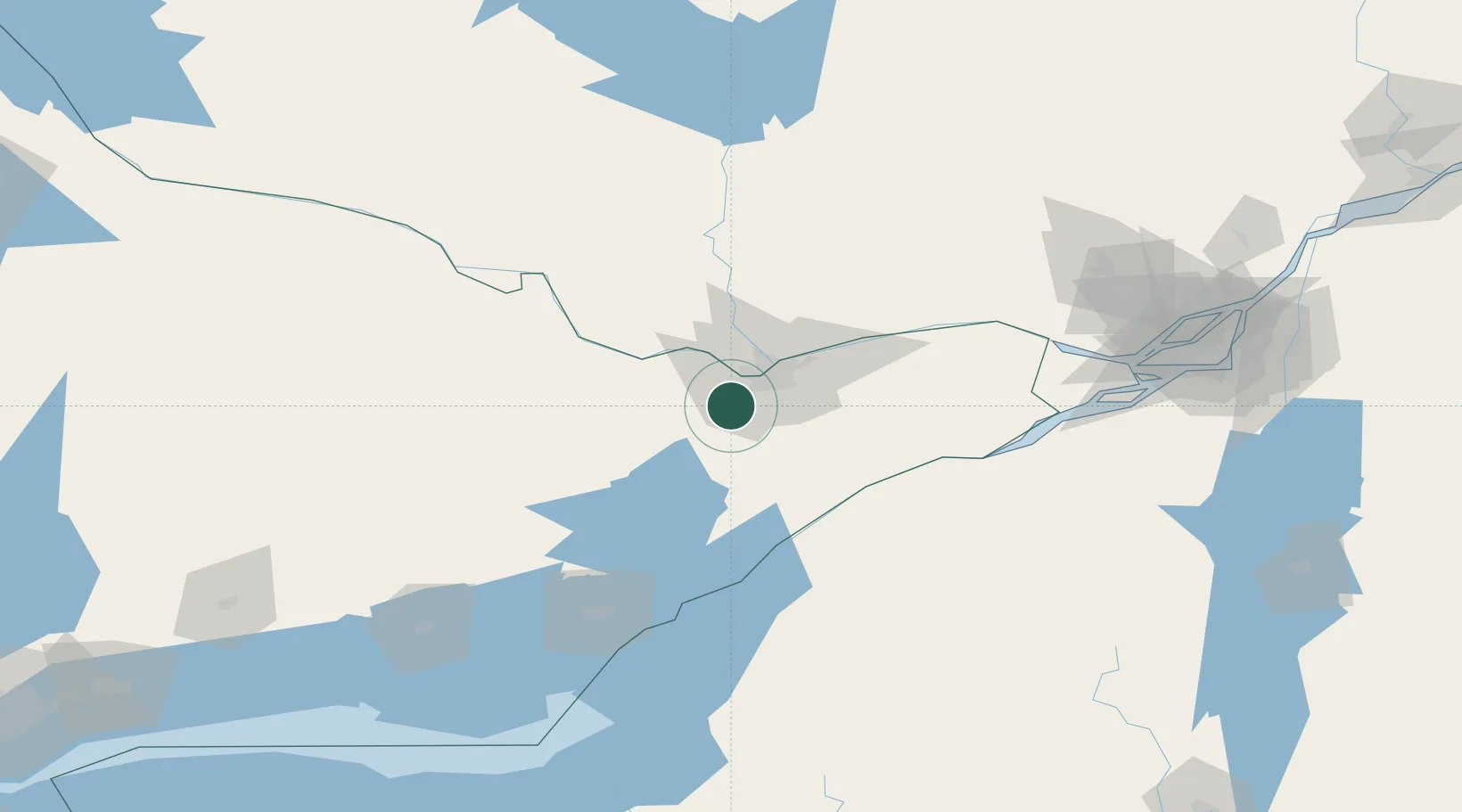
Hub Profile
Place type
Populated place
Region
Ontario
Population
40,889
Time zone
America/Toronto
Elevation
123 m
Location
Nearby Logistics Neighbours
Cities
- 1Richmond10 km
- 2Almonte23 km
- 3Gatineau31 km
- 4Burritts Rapids33 km
- 5Kemptville34 km
Ports
- 1Hull27 km
- 2Ottawa27 km
- 3Gatineau33 km
- 4Cumberland50 km
- 5Masson50 km
Airports
Trade Zones
- 1FTZ No. 118 Ogdensburg68 km
- 2FTZ No. 109 Watertown141 km
- 3Greater Montreal Free Zone Center186 km
- 4FTZ No. 090 Onondaga206 km
- 5FTZ No. 172 Oneida County224 km
DatabookThe Record of Consolidated Knowledge
Canada beyond logistics?