Transport Functions
Rail
Road
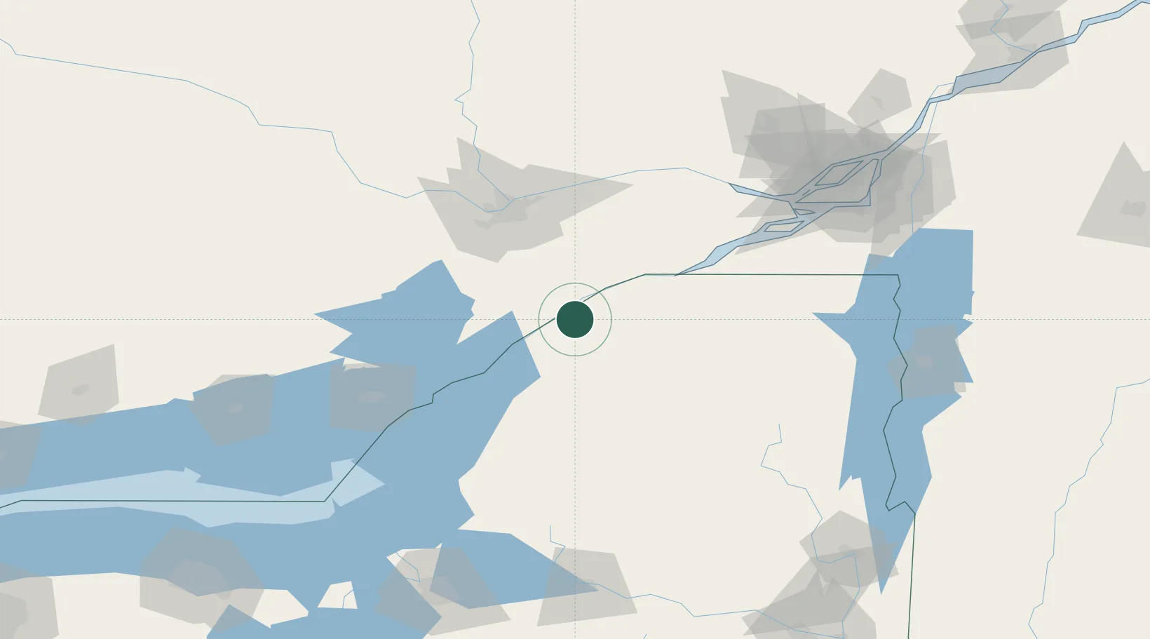
Hub Profile
Place type
Populated place
Region
New York
Time zone
America/New_York
Elevation
103 m
Location
Nearby Logistics Neighbours
Ports
- 1Cardinal8 km
- 2Lower Lakes Terminal12 km
- 3Ogdensburg15 km
- 4Brockville32 km
- 5Cornwall56 km
Airports
Trade Zones
- 1FTZ No. 118 Ogdensburg16 km
- 2FTZ No. 109 Watertown95 km
- 3Greater Montreal Free Zone Center163 km
- 4FTZ No. 090 Onondaga173 km
- 5FTZ No. 172 Oneida County176 km
DatabookThe Record of Consolidated Knowledge
United States beyond logistics?