Medium airport · Canada
Bella Bella (Campbell Island) AirportCBBC
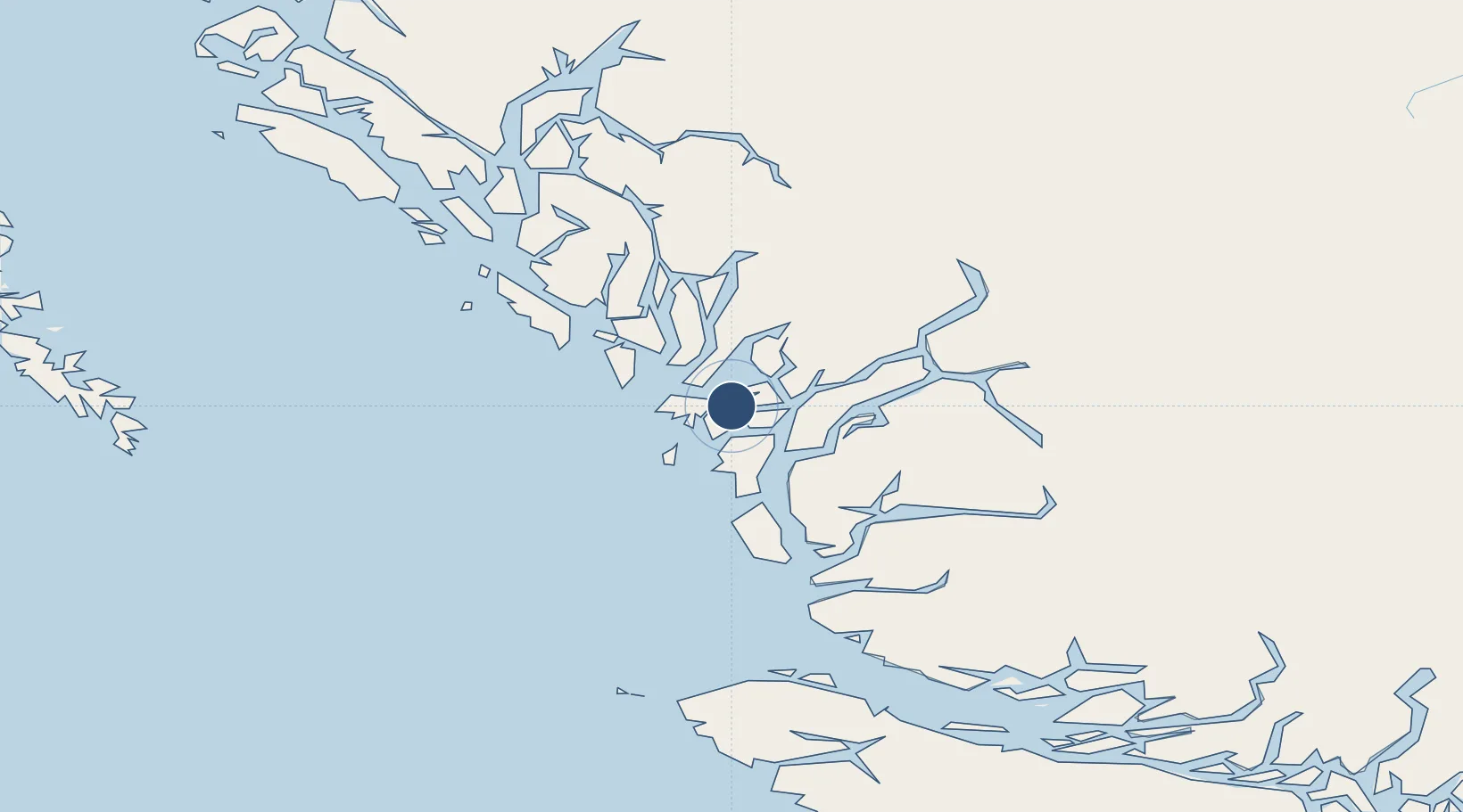
52.1850°, -128.1570°
3,700 ft
Longest runway
1
Runways
141 ft
Elevation
Runway & Layout

Radio Frequencies
ATF
122.8 MHz
Bella BellaTraffic, 5nm below 3200 ASL
FSS
131.05 MHz
Wag Fuel
RCO
123.475 MHz
Pacific Radio, (FISE)
RCO
126.7 MHz
Pacific Radio, bcst
Runways · 1
| Runway | Dimensions | Surface | True heading | Lit |
|---|---|---|---|---|
| 13/31 | 3,700 × 75ft | Asphalt | 151° | — |
Airport Specifications
IATA code
ZEL
ICAO code
CBBC
Airport class
Medium airport
Scheduled service
Yes
Runway surface
Asphalt
Served city
Bella Bella
Location
Nearby Logistics Neighbours
Airports
- 1Bella Coola Airport109 km
- 2Sullivan Bay Seaplane Base171 km
- 3Port Hardy Airport176 km
- 4Greenway Sound Seaplane Base178 km
- 5Port McNeill Airport196 km
Cities
- 1Falkenberg157 km
- 2Coal Harbour181 km
- 3Port McNeill193 km
- 4Beaver Cove206 km
- 5Harriet Harbour221 km
Ports
- 1Klemtu52 km
- 2Bella Coola95 km
- 3Coal Harbor181 km
- 4Port Mcneill193 km
- 5Alert Bay197 km
Trade Zones
- 1PrInce George Logistics Park409 km
- 2FTZ Vancouver Island482 km
- 3FTZ No. 128 Whatcom County546 km
- 4FTZ No. 129 Bellingham551 km
- 5FTZ No. 173 Grays Harbor622 km
DatabookThe Record of Consolidated Knowledge
Canada beyond logistics?