Transport Functions
Port
Road
Hub Profile
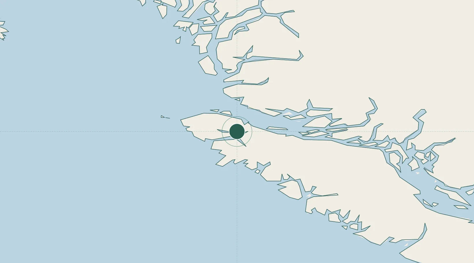
Place type
Populated place
Region
British Columbia
Population
91
Time zone
America/Vancouver
Elevation
11 m
Location
Nearby Logistics Neighbours
Cities
- 1Port McNeill34 km
- 2Beaver Cove52 km
- 3Sayward121 km
- 4Campbell River178 km
- 5Falkenberg213 km
Ports
- 1Port Alice26 km
- 2Port Mcneill35 km
- 3Alert Bay46 km
- 4Tahsis100 km
- 5Gold River146 km
Airports
- 1Port Hardy Airport18 km
- 2Port McNeill Airport39 km
- 3Alert Bay Airport47 km
- 4Sullivan Bay Seaplane Base62 km
- 5Greenway Sound Seaplane Base63 km
Trade Zones
- 1FTZ Vancouver Island353 km
- 2FTZ No. 128 Whatcom County413 km
- 3FTZ No. 129 Bellingham417 km
- 4FTZ No. 173 Grays Harbor449 km
- 5FTZ No. 085 Everett484 km
DatabookThe Record of Consolidated Knowledge
Canada beyond logistics?