Channel & Berth Profile
Pilotage, Tugs & Services
Potable waterYES
Diesel bunkersYES
Facilities & Capabilities
Container—
Ro-Ro—
Liquid bulk—
Dry bulk—
Oil terminal—
Break bulk—
Dry dock—
Repairs—
Bunkering—
Rail link—
Dangerous cargo—
ISPS security—
Harbour Specifications
Harbour size
Very Small
Harbour type
Coastal (Natural)
Shelter
Good
Water body
Alaska-Canada coastal waters; North Pacific Ocean
Overhead limit
No
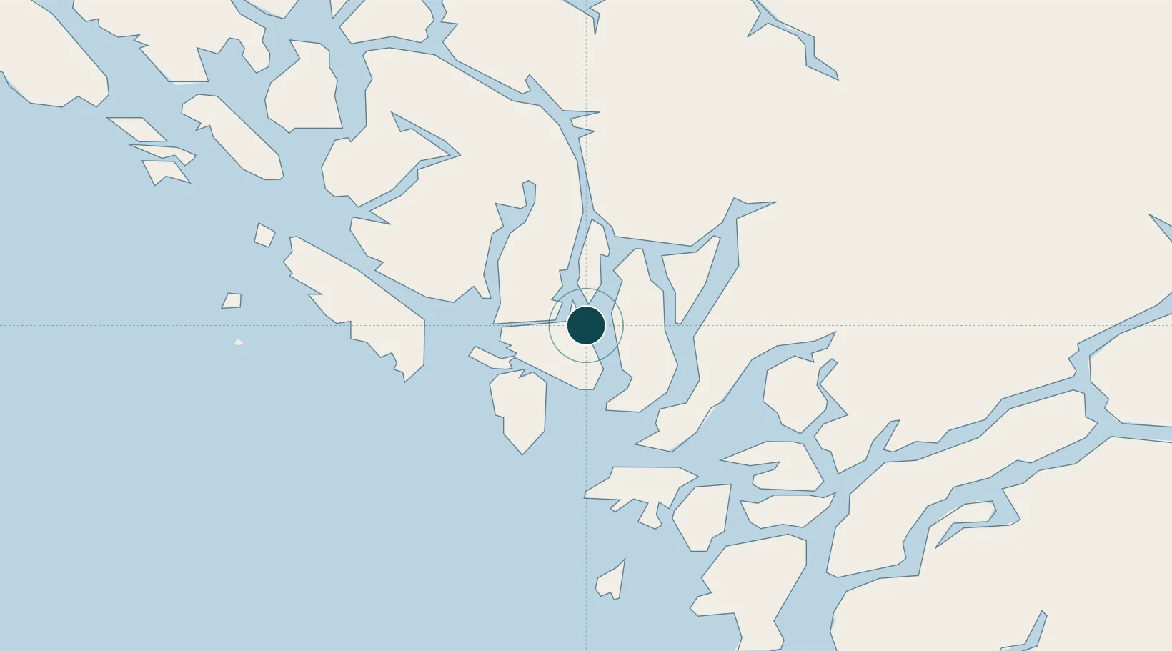
Location
Nearby Logistics Neighbours
Ports
- 1Bella Coola119 km
- 2Kitimat156 km
- 3Prince Rupert226 km
- 4Coal Harbor232 km
- 5Port Mcneill245 km
Cities
- 1Falkenberg163 km
- 2Harriet Harbour198 km
- 3Prince Rupert224 km
- 4Coal Harbour232 km
- 5Port McNeill245 km
Airports
Trade Zones
- 1PrInce George Logistics Park411 km
- 2FTZ Vancouver Island531 km
- 3FTZ No. 128 Whatcom County595 km
- 4FTZ No. 129 Bellingham600 km
- 5FTZ No. 173 Grays Harbor674 km
DatabookThe Record of Consolidated Knowledge
Canada beyond logistics?