Transport Functions
Rail
Road
Airport
Hub Profile
Place type
Populated place
Region
Alberta
Population
63,138
Time zone
America/Edmonton
Elevation
673 m
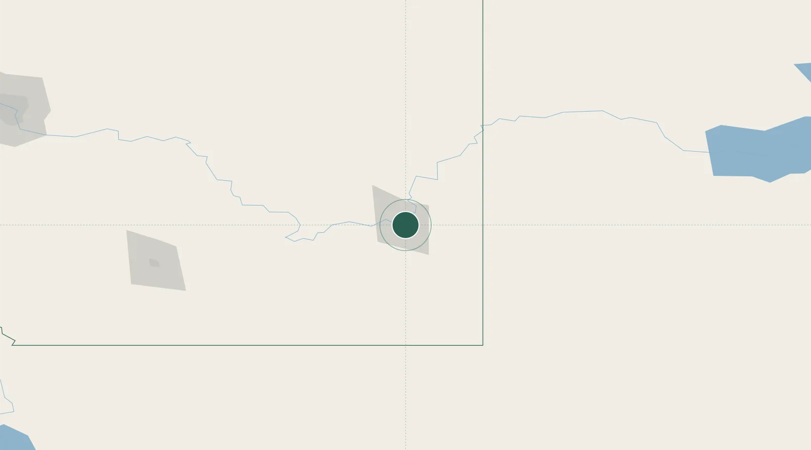
Location
Nearby Logistics Neighbours
Cities
- 1Dunmore10 km
- 2Irvine30 km
- 3Etzikom69 km
- 4Grassy Lake78 km
- 5Tilley84 km
Ports
- 1Mission City841 km
- 2Bellingham867 km
- 3Everett871 km
- 4Port Coquitlam875 km
- 5Mukilteo879 km
Airports
- 1Medicine Hat Regional Airport4 km
- 2Lethbridge County Airport159 km
- 3Havre City County Airport178 km
- 4Kindersley Airport195 km
- 5Cut Bank International Airport201 km
Trade Zones
- 1FTZ No. 187 Toole County198 km
- 2Calgary Region Inland Port266 km
- 3FTZ No. 088 Great Falls287 km
- 4Global Transportation Hub Authority423 km
- 5Port Alberta - Edmonton FTZ440 km
DatabookThe Record of Consolidated Knowledge
Canada beyond logistics?