Transport Functions
Rail
Road
Hub Profile
Place type
Populated place
Region
Alberta
Time zone
America/Edmonton
Elevation
731 m
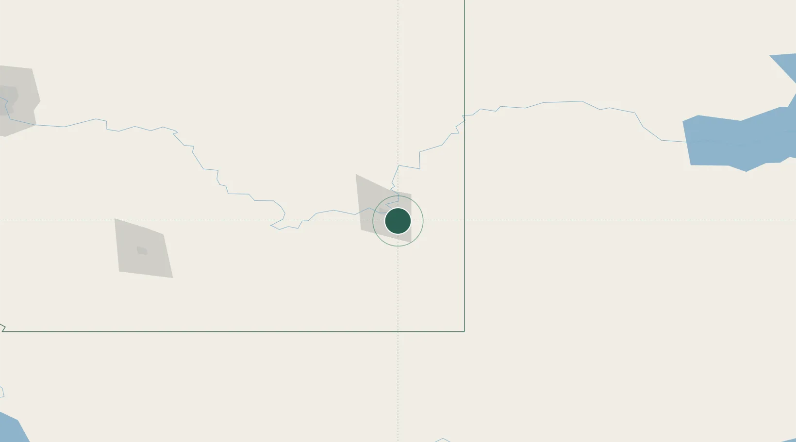
Location
Nearby Logistics Neighbours
Cities
- 1Medicine Hat10 km
- 2Irvine23 km
- 3Etzikom65 km
- 4Maple Creek79 km
- 5Grassy Lake82 km
Ports
- 1Mission City846 km
- 2Bellingham873 km
- 3Everett876 km
- 4Port Coquitlam881 km
- 5Mukilteo883 km
Airports
- 1Medicine Hat Regional Airport11 km
- 2Lethbridge County Airport163 km
- 3Havre City County Airport169 km
- 4Kindersley Airport199 km
- 5Cut Bank International Airport199 km
Trade Zones
- 1FTZ No. 187 Toole County195 km
- 2Calgary Region Inland Port274 km
- 3FTZ No. 088 Great Falls281 km
- 4Global Transportation Hub Authority419 km
- 5Port Alberta - Edmonton FTZ449 km
DatabookThe Record of Consolidated Knowledge
Canada beyond logistics?