Transport Functions
Port
Airport
Hub Profile
Place type
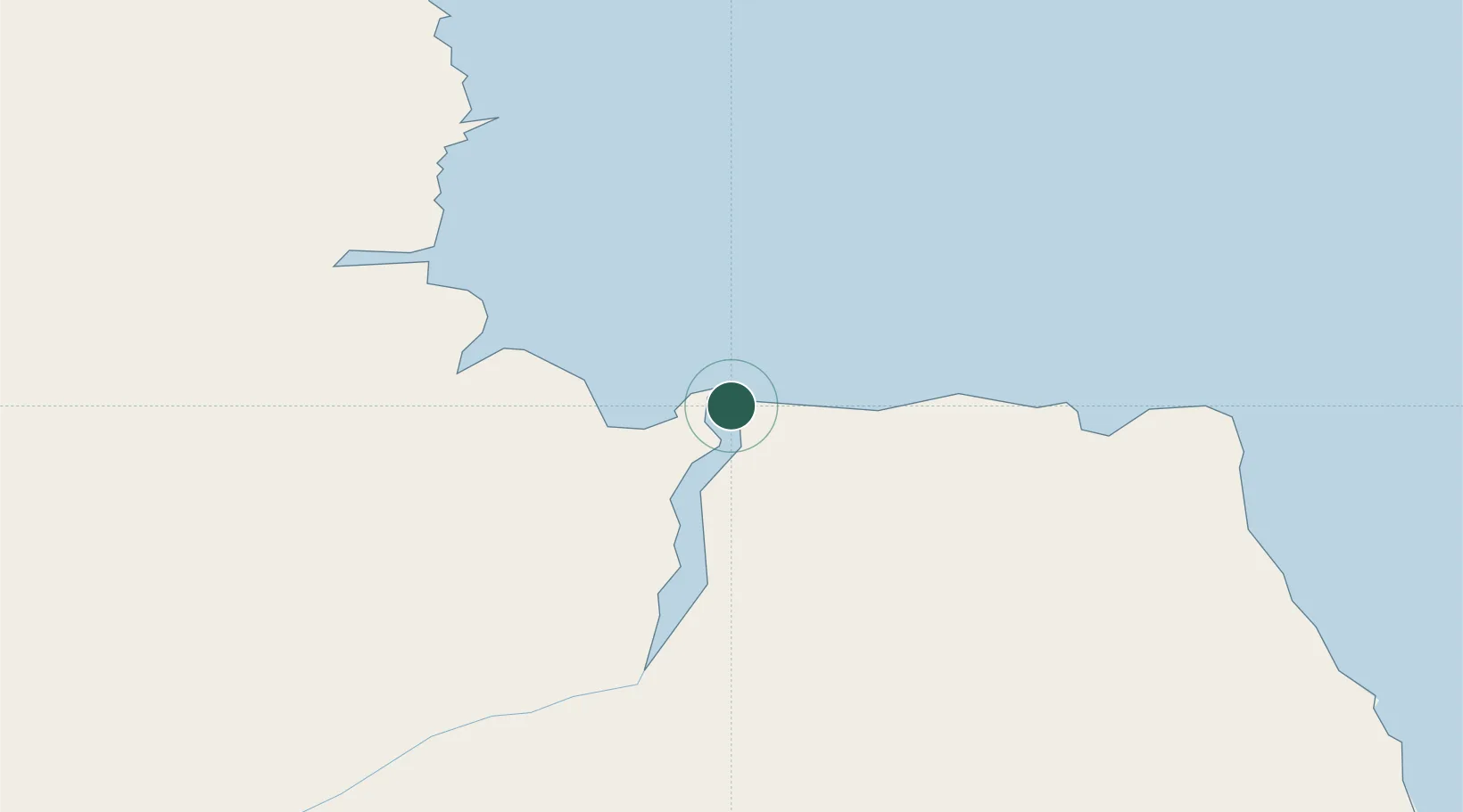
Populated place
Region
Manitoba
Population
899
Time zone
America/Winnipeg
Elevation
9 m
Location
Nearby Logistics Neighbours
Cities
- 1Arviat260 km
- 2Split Lake302 km
- 3Whale Cove388 km
- 4Rankin Inlet465 km
- 5Chesterfield Inlet541 km
Ports
- 1Thunder Bay1197 km
- 2Heron Bay1236 km
- 3Grand Marais1251 km
- 4Two Harbors1317 km
- 5Duluth1342 km
Airports
- 1Churchill Airport8 km
- 2Nejanilini Lake Airport220 km
- 3Tadoule Lake Airport250 km
- 4Arviat Airport259 km
- 5Gillam Airport270 km
Trade Zones
- 1Winnipegs Centreport Canada1005 km
- 2Global Transportation Hub Authority1146 km
- 3FTZ No. 259 Koochiching County1166 km
- 4FTZ No. 103 Grand Forks1223 km
- 5FTZ No. 267 Fargo1338 km
DatabookThe Record of Consolidated Knowledge
Canada beyond logistics?