Small airport · Canada
Tadoule Lake AirportCYBQ
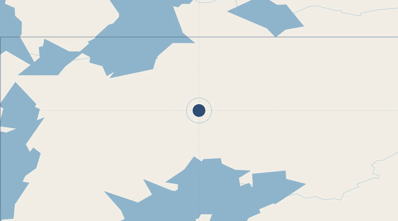
58.7063°, -98.5111°
3,201 ft
Longest runway
1
Runways
923 ft
Elevation
Runway & Layout

Navaids
Q1 NDB Tadoule Lake 389 kHz
Runways · 1
| Runway | Dimensions | Surface | True heading | Lit |
|---|---|---|---|---|
| 07/25 | 3,201 × 102ft | Gravel | 072° | — |
Airport Specifications
IATA code
XTL
ICAO code
CYBQ
Airport class
Small airport
Scheduled service
Yes
Runway surface
Gravel
Served city
Tadoule Lake
Location
Nearby Logistics Neighbours
Airports
- 1Nejanilini Lake Airport96 km
- 2Lac Brochet Airport171 km
- 3Brochet Airport206 km
- 4South Indian Lake Airport214 km
- 5Lynn Lake Airport255 km
Cities
- 1Churchill250 km
- 2Split Lake309 km
- 3Arviat364 km
- 4Whale Cove503 km
- 5Rankin Inlet575 km
Ports
- 1Churchill249 km
- 2Thunder Bay1297 km
- 3Grand Marais1332 km
- 4Heron Bay1372 km
- 5Two Harbors1377 km
Trade Zones
- 1Winnipegs Centreport Canada984 km
- 2Global Transportation Hub Authority1002 km
- 3Port Alberta - Edmonton FTZ1073 km
- 4FTZ No. 259 Koochiching County1192 km
- 5FTZ No. 103 Grand Forks1203 km
DatabookThe Record of Consolidated Knowledge
Canada beyond logistics?