Transport Functions
Port
Airport
Hub Profile
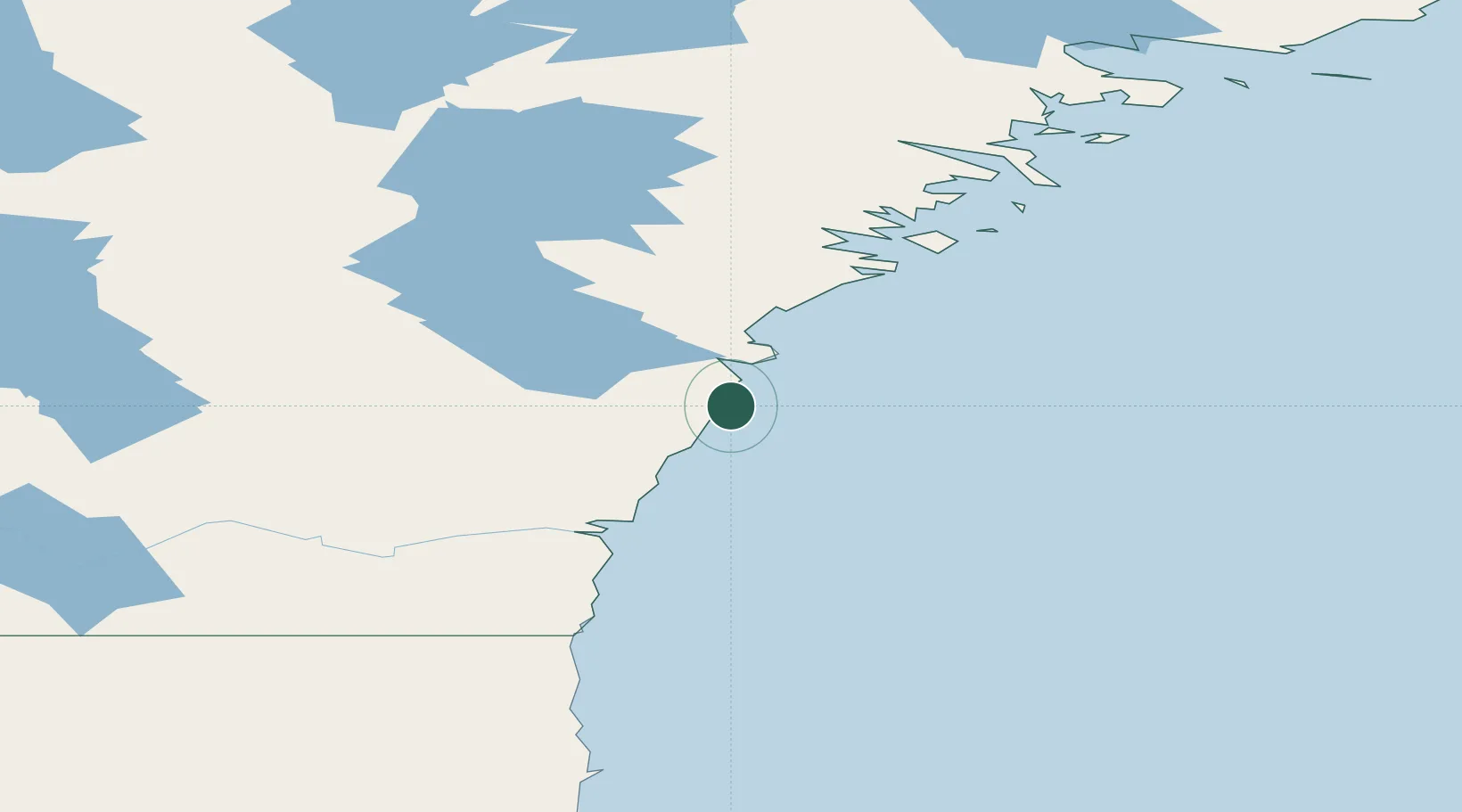
Place type
Locality
Region
Nunavut
Population
2,864
Time zone
America/Rankin_Inlet
Elevation
1 m
Location
Nearby Logistics Neighbours
Cities
- 1Whale Cove142 km
- 2Rankin Inlet217 km
- 3Churchill260 km
- 4Chesterfield Inlet303 km
- 5Baker Lake372 km
Ports
- 1Churchill258 km
- 2Thunder Bay1445 km
- 3Heron Bay1468 km
- 4Grand Marais1503 km
- 5Michipicoten1572 km
Airports
- 1Arviat Airport1 km
- 2Whale Cove Airport148 km
- 3Rankin Inlet Airport216 km
- 4Churchill Airport263 km
- 5Nejanilini Lake Airport273 km
Trade Zones
- 1Winnipegs Centreport Canada1261 km
- 2Global Transportation Hub Authority1357 km
- 3Port Alberta - Edmonton FTZ1415 km
- 4FTZ No. 259 Koochiching County1426 km
- 5FTZ No. 103 Grand Forks1480 km
DatabookThe Record of Consolidated Knowledge
Canada beyond logistics?