Small airport · Canada
Arviat AirportCYEK
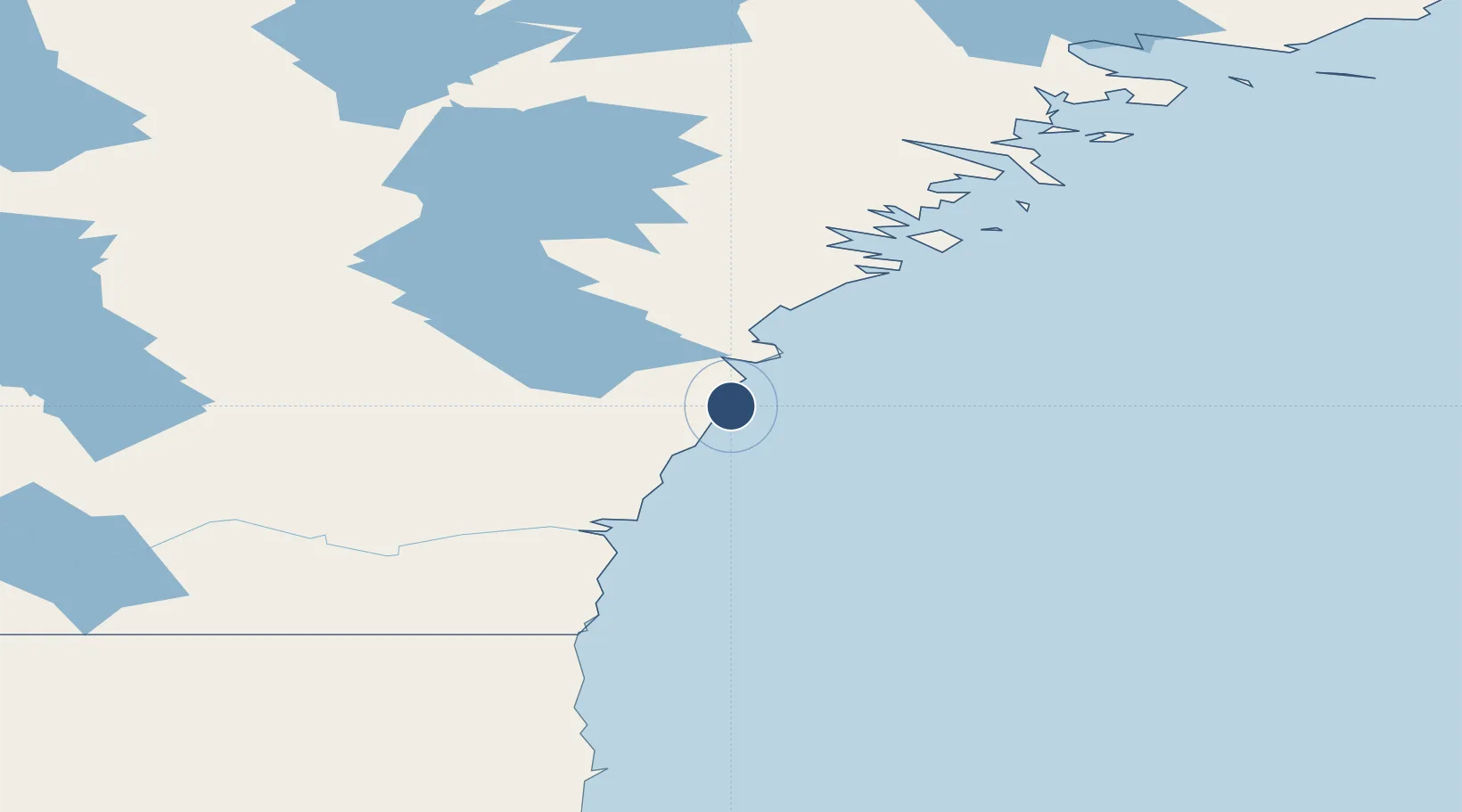
61.0942°, -94.0708°
4,000 ft
Longest runway
1
Runways
32 ft
Elevation
Runway & Layout

Radio Frequencies
AWOS
128.7 MHz
RDO
122.1 MHz
ARPT RDO
Navaids
YEK NDB Arviat 329 kHz
Runways · 1
| Runway | Dimensions | Surface | True heading | Lit |
|---|---|---|---|---|
| 15T/33T | 4,000 × 100ft | Gravel | 149° | ✓ |
Airport Specifications
IATA code
YEK
ICAO code
CYEK
Airport class
Small airport
Scheduled service
Yes
Runway surface
Gravel
Served city
Arviat
Location
Nearby Logistics Neighbours
Airports
- 1Whale Cove Airport149 km
- 2Rankin Inlet Airport217 km
- 3Churchill Airport262 km
- 4Nejanilini Lake Airport271 km
- 5Chesterfield Inlet Airport304 km
Cities
- 1Arviat1 km
- 2Whale Cove143 km
- 3Rankin Inlet218 km
- 4Churchill259 km
- 5Chesterfield Inlet304 km
Ports
- 1Churchill257 km
- 2Thunder Bay1444 km
- 3Heron Bay1468 km
- 4Grand Marais1503 km
- 5Michipicoten1572 km
Trade Zones
- 1Winnipegs Centreport Canada1260 km
- 2Global Transportation Hub Authority1356 km
- 3Port Alberta - Edmonton FTZ1413 km
- 4FTZ No. 259 Koochiching County1425 km
- 5FTZ No. 103 Grand Forks1479 km
DatabookThe Record of Consolidated Knowledge
Canada beyond logistics?