Medium airport · Canada
Churchill AirportCYYQ
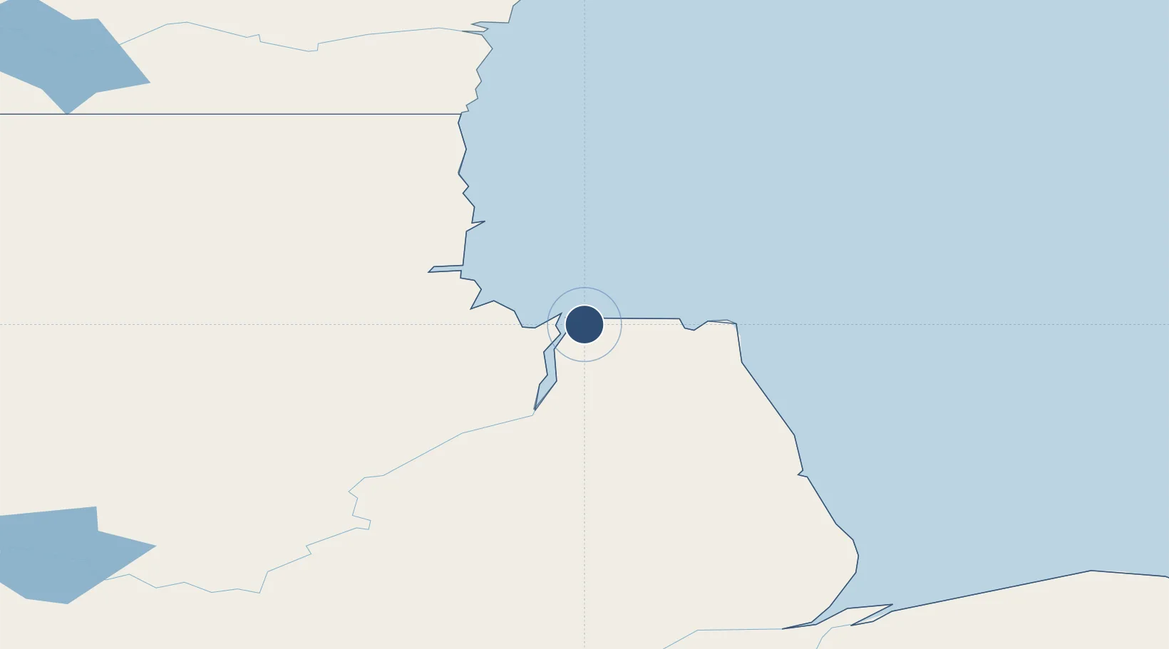
58.7392°, -94.0650°
9,200 ft
Longest runway
2
Runways
94 ft
Elevation
Runway & Layout

Radio Frequencies
A/G
122.2 MHz
MF CHURCHILL RDO
CNTR
134.6 MHz
WINNIPEG CNTR
FSS
122.2 MHz
RDO
INFO
126.9 MHz
INTL AIR
RCO
126.7 MHz
ARCTIC RDO
Navaids
YYQ VOR-DME Churchill 114.10 MHz
ZCH NDB Beluga 257 kHz
ZYQ NDB Polarbear 356 kHz
Runways · 2
| Runway | Dimensions | Surface | True heading | Lit |
|---|---|---|---|---|
| 15/33 | 9,200 × 160ft | Asphalt | 153° | ✓ |
| 07/25 | 4,000 × 100ft | Gravel | 072° | ✓ |
Airport Specifications
IATA code
YYQ
ICAO code
CYYQ
Airport class
Medium airport
Scheduled service
Yes
Runway surface
Asphalt
Served city
Churchill
Location
Nearby Logistics Neighbours
Airports
- 1Nejanilini Lake Airport228 km
- 2Tadoule Lake Airport257 km
- 3Arviat Airport262 km
- 4Gillam Airport268 km
- 5Ilford Airport313 km
Cities
- 1Churchill8 km
- 2Arviat263 km
- 3Split Lake302 km
- 4Whale Cove390 km
- 5Rankin Inlet466 km
Ports
- 1Churchill9 km
- 2Thunder Bay1192 km
- 3Heron Bay1231 km
- 4Grand Marais1246 km
- 5Two Harbors1313 km
Trade Zones
- 1Winnipegs Centreport Canada1003 km
- 2Global Transportation Hub Authority1148 km
- 3FTZ No. 259 Koochiching County1163 km
- 4FTZ No. 103 Grand Forks1221 km
- 5FTZ No. 267 Fargo1336 km
DatabookThe Record of Consolidated Knowledge
Canada beyond logistics?