UN/LOCODE hub · Canada
CAYCS
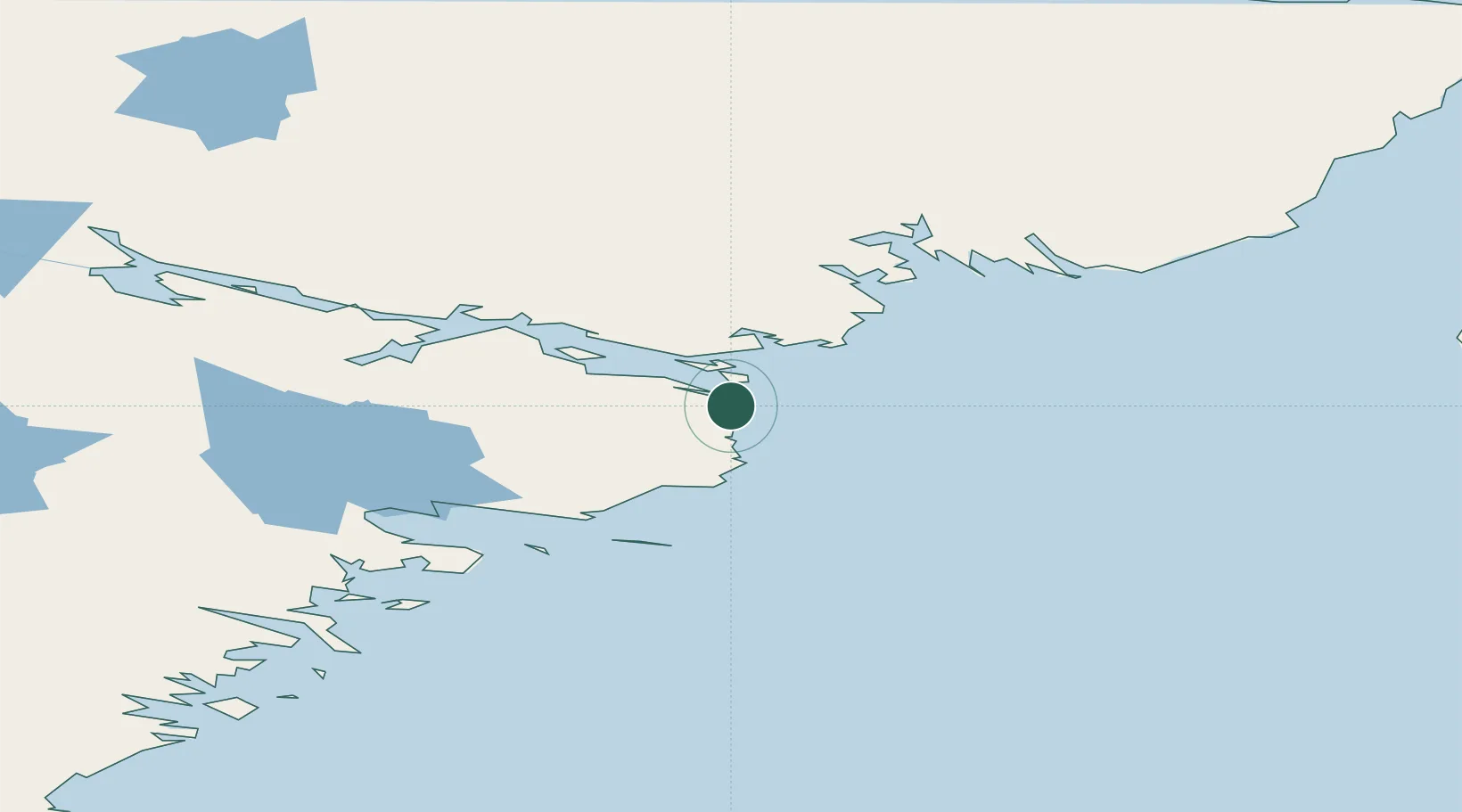
Chesterfield Inlet
63.3333°, -90.7000°
397
Population
2
Transport functions
Transport Functions
Port
Airport
Hub Profile
Place type
Locality
Region
Nunavut
Population
397
Time zone
America/Rankin_Inlet
Elevation
1 m
Location
Nearby Logistics Neighbours
Cities
- 1Rankin Inlet90 km
- 2Whale Cove161 km
- 3Baker Lake283 km
- 4Arviat303 km
- 5Coral Harbour381 km
Ports
- 1Churchill540 km
- 2Deception Bay824 km
- 3Pond Inlet1190 km
- 4Heron Bay1654 km
- 5Thunder Bay1663 km
Airports
- 1Chesterfield Inlet Airport2 km
- 2Rankin Inlet Airport92 km
- 3Whale Cove Airport155 km
- 4Baker Lake Airport285 km
- 5Arviat Airport304 km
Trade Zones
- 1Winnipegs Centreport Canada1544 km
- 2Global Transportation Hub Authority1660 km
- 3FTZ No. 259 Koochiching County1689 km
- 4FTZ No. 103 Grand Forks1760 km
- 5FTZ No. 051 Duluth1845 km
DatabookThe Record of Consolidated Knowledge
Canada beyond logistics?