Small airport · Canada
Gillam AirportCYGX
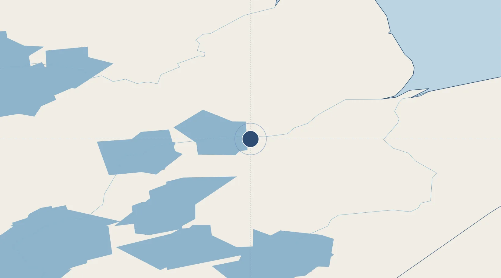
56.3571°, -94.7115°
5,000 ft
Longest runway
1
Runways
476 ft
Elevation
Runway & Layout

Navaids
YGX NDB Gillam 212 kHz
Runways · 1
| Runway | Dimensions | Surface | True heading | Lit |
|---|---|---|---|---|
| 05/23 | 5,000 × 150ft | GRAVEL | — | — |
Airport Specifications
IATA code
YGX
ICAO code
CYGX
Airport class
Small airport
Scheduled service
Yes
Runway surface
GRAVEL
Served city
Gillam
Location
Nearby Logistics Neighbours
Airports
- 1Ilford Airport66 km
- 2Kelsey Airport117 km
- 3Oxford House Airport162 km
- 4Shamattawa Airport172 km
- 5Gods River Airport173 km
Cities
- 1Split Lake87 km
- 2Churchill270 km
- 3Island Lake277 km
- 4Ballyhahil512 km
- 5Arviat529 km
Ports
- 1Churchill272 km
- 2Thunder Bay959 km
- 3Grand Marais1002 km
- 4Heron Bay1027 km
- 5Two Harbors1060 km
Trade Zones
- 1Winnipegs Centreport Canada736 km
- 2FTZ No. 259 Koochiching County899 km
- 3Global Transportation Hub Authority934 km
- 4FTZ No. 103 Grand Forks954 km
- 5FTZ No. 267 Fargo1068 km
DatabookThe Record of Consolidated Knowledge
Canada beyond logistics?