Medium airport · Canada
Nejanilini Lake AirportCYNN
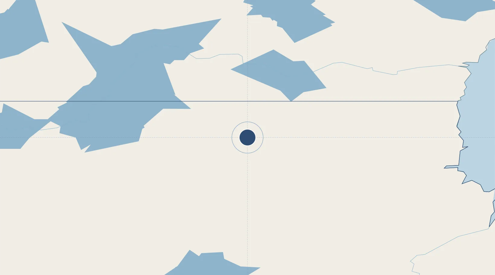
59.4875°, -97.7803°
3,350 ft
Longest runway
1
Runways
1,000 ft
Elevation
Runway & Layout

Runways · 1
| Runway | Dimensions | Surface | True heading | Lit |
|---|---|---|---|---|
| 17/35 | 3,350 × 80ft | GRAVEL/SAND | — | — |
Airport Specifications
ICAO code
CYNN
Airport class
Medium airport
Scheduled service
No
Runway surface
GRAVEL/SAND
Served city
Nejanilini Lake
Location
Nearby Logistics Neighbours
Airports
- 1Tadoule Lake Airport96 km
- 2Churchill Airport228 km
- 3Lac Brochet Airport232 km
- 4Arviat Airport271 km
- 5Brochet Airport287 km
Cities
- 1Churchill220 km
- 2Arviat273 km
- 3Split Lake373 km
- 4Whale Cove410 km
- 5Rankin Inlet480 km
Ports
- 1Churchill219 km
- 2Thunder Bay1351 km
- 3Grand Marais1393 km
- 4Heron Bay1414 km
- 5Two Harbors1444 km
Trade Zones
- 1Winnipegs Centreport Canada1067 km
- 2Global Transportation Hub Authority1098 km
- 3Port Alberta - Edmonton FTZ1149 km
- 4FTZ No. 259 Koochiching County1267 km
- 5FTZ No. 103 Grand Forks1287 km
DatabookThe Record of Consolidated Knowledge
Canada beyond logistics?