Transport Functions
Port
Road
Hub Profile
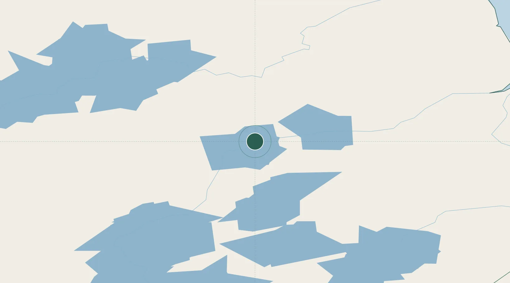
Place type
Populated place
Region
Manitoba
Time zone
America/Winnipeg
Elevation
173 m
Location
Nearby Logistics Neighbours
Cities
- 1Island Lake280 km
- 2Churchill302 km
- 3Ballyhahil457 km
- 4Arviat552 km
- 5Pine River576 km
Ports
- 1Churchill304 km
- 2Thunder Bay989 km
- 3Grand Marais1023 km
- 4Two Harbors1071 km
- 5Heron Bay1072 km
Airports
- 1Kelsey Airport35 km
- 2Ilford Airport37 km
- 3Gillam Airport87 km
- 4Pikwitonei Airport99 km
- 5Thompson Airport120 km
Trade Zones
- 1Winnipegs Centreport Canada710 km
- 2Global Transportation Hub Authority863 km
- 3FTZ No. 259 Koochiching County895 km
- 4FTZ No. 103 Grand Forks930 km
- 5FTZ No. 267 Fargo1047 km
DatabookThe Record of Consolidated Knowledge
Canada beyond logistics?