Foreign Trade Zone · Canada

Winnipegs Centreport Canada Active
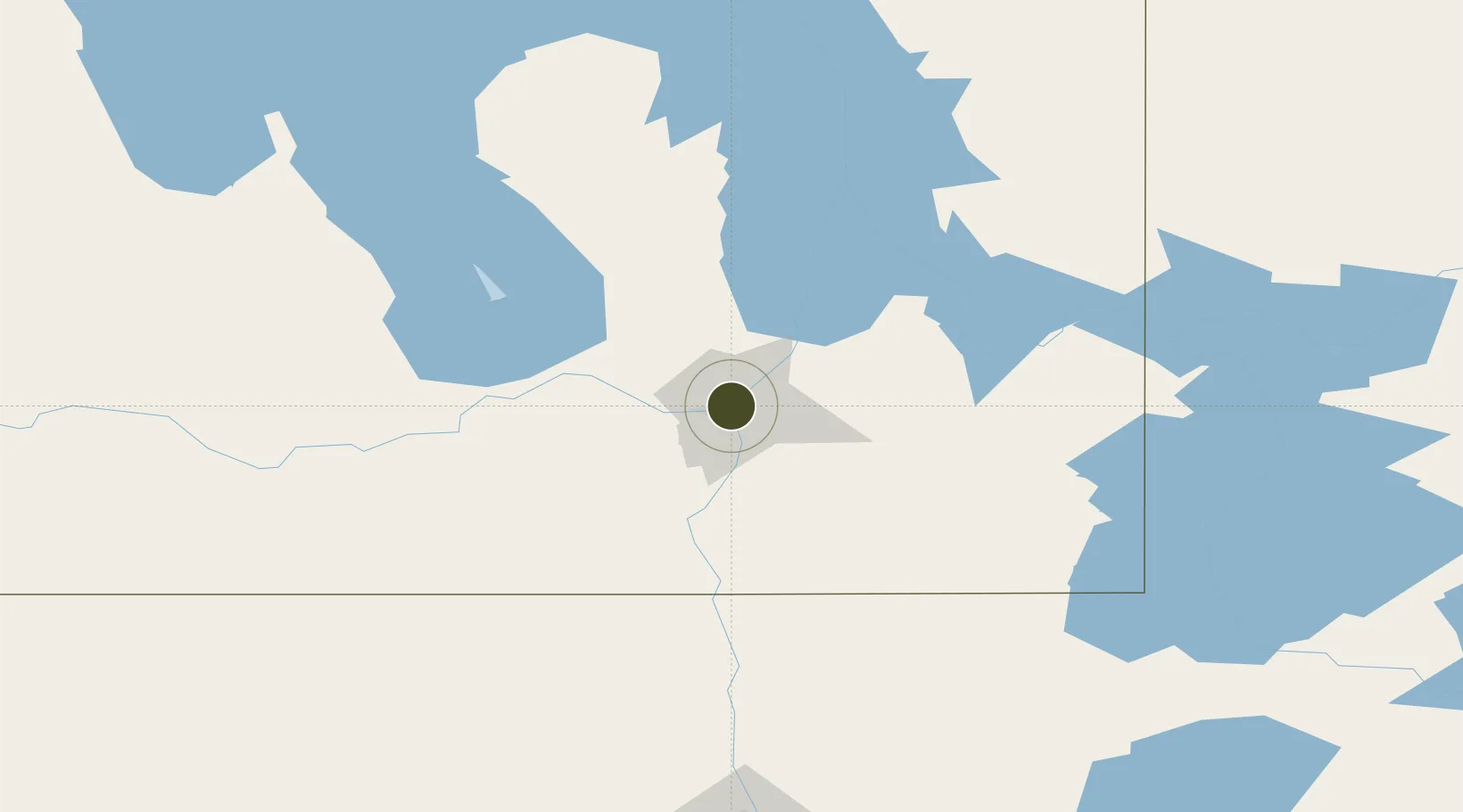
49.8951°, -97.1385°
8,093 ha
Zone area
509.4 km
Nearest port
7.5 km
Nearest airport

Gateway access

Nearest neighbours — logibook spatial index (haversine) over the source coordinates

Zone profile

Zone type
Foreign Trade Zone
Open Zone Map
Region
Manitoba
Open Zone Map
Status
Active
Open Zone Map
Management
Public-Private Partnership
Open Zone Map
Operator
Centreport Canada, Inc.
Open Zone Map
Legal framework
Foreign Trade Zone Act of 1934
Open Zone Map

Location

Location of ozm-286
Natural Earth 10m (public domain) · Manitoba · ozm-286 · 49.90, -97.14GoogleOSMYandex

Nearby Logistics Neighbours

Ports
  1. 1Duluth509 km
  2. 2Superior514 km
  3. 3Two Harbors516 km
  4. 4Grand Marais552 km
  5. 5Bayfield580 km
Nearest neighbours — logibook spatial index (haversine) over the source coordinates
Airports
  1. 1Winnipeg / James Armstrong Richardson International Airport8 km
  2. 2Winnipeg / St. Andrews Airport20 km
  3. 3Portage-la-Prairie / Southport Airport81 km
  4. 4Gimli Industrial Park Airport82 km
  5. 5Lac du Bonnet Airport92 km
Nearest neighbours — logibook spatial index (haversine) over the source coordinates
Cities
  1. 1Winnipeg1 km
  2. 2East Saint-Paul5 km
  3. 3La Salle24 km
  4. 4Rosser24 km
  5. 5Lockport25 km
Nearest neighbours — logibook spatial index (haversine) over the source coordinates
Trade Zones
  1. 1FTZ No. 103 Grand Forks220 km
  2. 2FTZ No. 259 Koochiching County273 km
  3. 3FTZ No. 267 Fargo338 km
  4. 4FTZ No. 051 Duluth502 km
  5. 5Global Transportation Hub Authority545 km
Nearest neighbours — logibook spatial index (haversine) over the source coordinates
DatabookThe Record of Consolidated Knowledge
Canada beyond logistics?
Browse databook

All Sources

Trade ZonesOpen Zone Map
CC BY
Portsthe NGA World Port Index
Public domain (US gov)
AirportsOurAirports
Public domain
LocationsUN/LOCODE
UN/LOCODE — free
← Canada trade zones