Foreign Trade Zone · Canada

Global Transportation Hub Authority Active

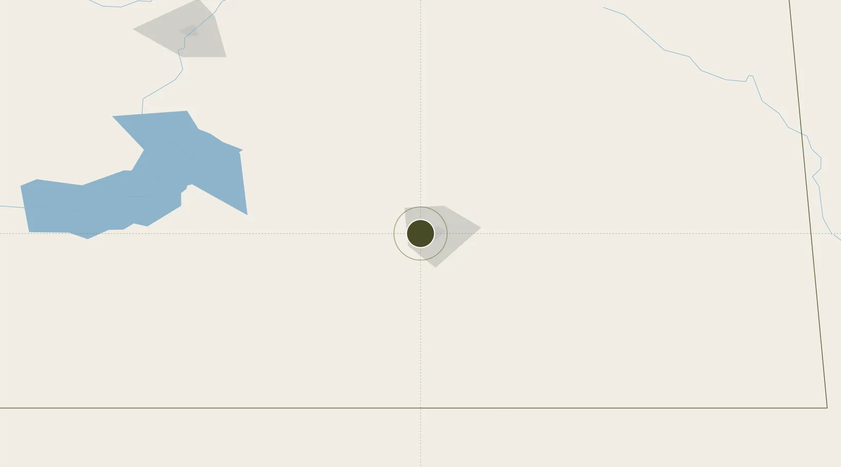
50.4462°, -104.7497°
1,014.4 km
Nearest port
6.5 km
Nearest airport

Gateway access

Nearest neighbours — logibook spatial index (haversine) over the source coordinates

Zone profile

Zone type
Foreign Trade Zone
Open Zone Map
Region
Saskatchewan
Open Zone Map
Status
Active
Open Zone Map
Management
Public-Private Partnership
Open Zone Map
Operator
Colliers International
Open Zone Map
Legal framework
Foreign Trade Zone Act of 1934
Open Zone Map

Location

Location of ozm-297
Natural Earth 10m (public domain) · Saskatchewan · ozm-297 · 50.45, -104.75GoogleOSMYandex

Nearby Logistics Neighbours

Ports
  1. 1Duluth1014 km
  2. 2Superior1018 km
  3. 3Two Harbors1032 km
  4. 4Grand Marais1090 km
  5. 5Bayfield1099 km
Nearest neighbours — logibook spatial index (haversine) over the source coordinates
Airports
  1. 1Regina International Airport7 km
  2. 2Moose Jaw Air Vice Marshal C. M. McEwen Airport59 km
  3. 3Yorkton Municipal Airport185 km
  4. 4Estevan Airport188 km
  5. 5Swift Current Airport209 km
Nearest neighbours — logibook spatial index (haversine) over the source coordinates
Cities
  1. 1Richardson22 km
  2. 2Emerald Park33 km
  3. 3Wilcox39 km
  4. 4McLean49 km
  5. 5Avonlea53 km
Nearest neighbours — logibook spatial index (haversine) over the source coordinates
Trade Zones
  1. 1Winnipegs Centreport Canada545 km
  2. 2FTZ No. 187 Toole County581 km
  3. 3FTZ No. 088 Great Falls588 km
  4. 4FTZ No. 103 Grand Forks618 km
  5. 5Calgary Region Inland Port659 km
Nearest neighbours — logibook spatial index (haversine) over the source coordinates
DatabookThe Record of Consolidated Knowledge
Canada beyond logistics?
Browse databook

All Sources

Trade ZonesOpen Zone Map
CC BY
Portsthe NGA World Port Index
Public domain (US gov)
AirportsOurAirports
Public domain
LocationsUN/LOCODE
UN/LOCODE — free
← Canada trade zones