Channel & Berth Profile
Pilotage, Tugs & Services
Pilotage compulsoryYES
Tug assistanceNO
Salvage tugsNO
Potable waterYES
MedicalYES
Facilities & Capabilities
Container—
Ro-Ro—
Liquid bulk—
Dry bulk—
Oil terminal—
Break bulk—
Dry dock—
Repairs—
Bunkering—
Rail linkYES
Dangerous cargo—
ISPS security—
Harbour Specifications
Harbour size
Very Small
Harbour type
Coastal (Natural)
Shelter
Fair
Water body
Lake Superior; Great Lakes
Overhead limit
No
Pilotage
Yes
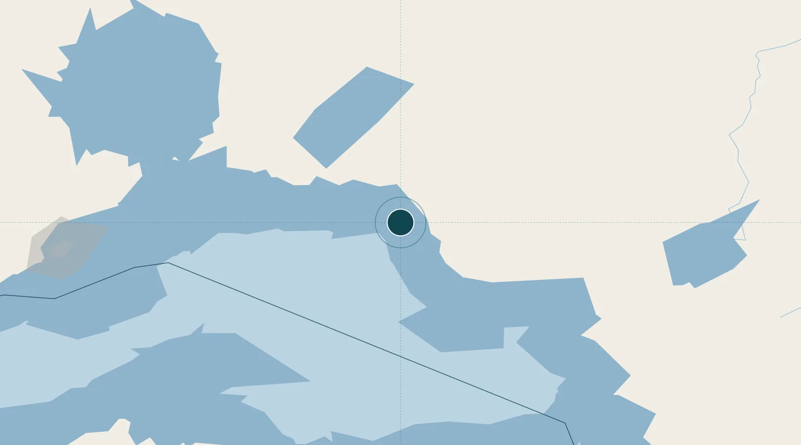
Location
Nearby Logistics Neighbours
Ports
- 1Michipicoten129 km
- 2Thunder Bay217 km
- 3Houghton239 km
- 4Presque Isle245 km
- 5Marquette249 km
Cities
- 1Rossport90 km
- 2Wellington140 km
- 3Red Rock148 km
- 4Thunder Bay215 km
- 5Fort William217 km
Airports
- 1Marathon Airport12 km
- 2Manitouwadge Airport59 km
- 3Hornepayne Municipal Airport129 km
- 4Geraldton Greenstone Regional Airport133 km
- 5Wawa Airport136 km
Trade Zones
- 1FTZ No. 016 Sault Ste. Marie280 km
- 2FTZ No. 167 Brown County490 km
- 3FTZ No. 051 Duluth491 km
- 4FTZ No. 019 Omaha596 km
- 5FTZ No. 189 Kent Ottawa/Muskegon Counties602 km
DatabookThe Record of Consolidated Knowledge
Canada beyond logistics?