Transport Functions
Port
Road
Hub Profile
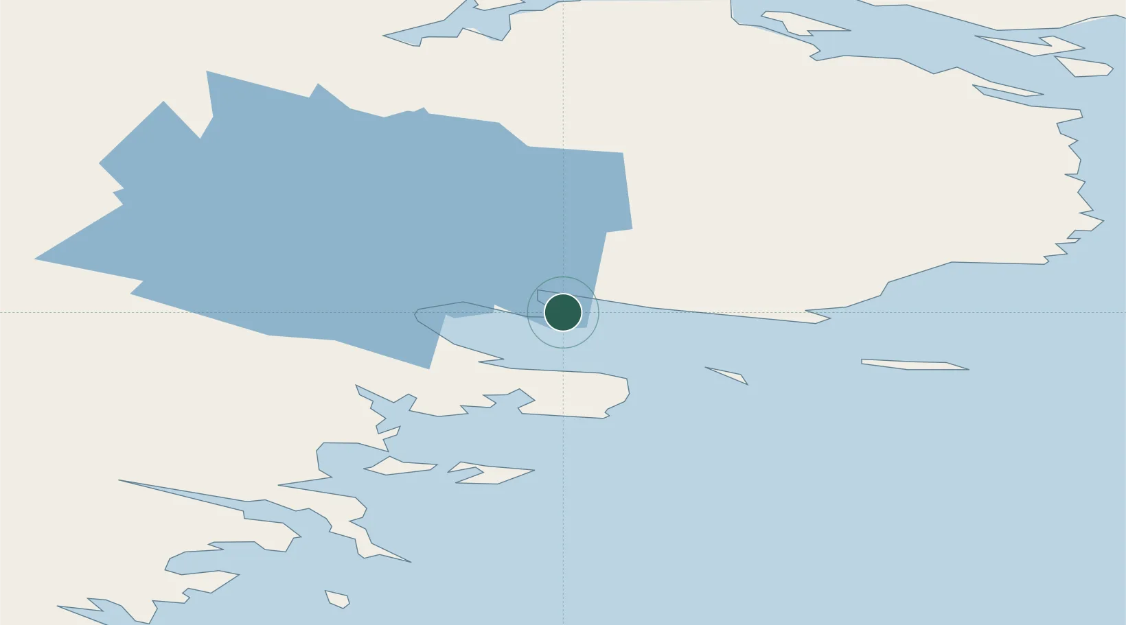
Place type
Locality
Region
Nunavut
Population
2,975
Time zone
America/Rankin_Inlet
Elevation
1 m
Location
Nearby Logistics Neighbours
Cities
- 1Whale Cove77 km
- 2Chesterfield Inlet90 km
- 3Arviat217 km
- 4Baker Lake258 km
- 5Churchill465 km
Ports
- 1Churchill463 km
- 2Pond Inlet1270 km
- 3Thunder Bay1613 km
- 4Heron Bay1614 km
- 5Grand Marais1679 km
Airports
- 1Rankin Inlet Airport3 km
- 2Whale Cove Airport70 km
- 3Chesterfield Inlet Airport89 km
- 4Arviat Airport218 km
- 5Baker Lake Airport258 km
Trade Zones
- 1Winnipegs Centreport Canada1469 km
- 2Global Transportation Hub Authority1573 km
- 3Port Alberta - Edmonton FTZ1597 km
- 4FTZ No. 259 Koochiching County1623 km
- 5FTZ No. 103 Grand Forks1687 km
DatabookThe Record of Consolidated Knowledge
Canada beyond logistics?