Foreign Trade Zone · United States

FTZ No. 267 Fargo Active
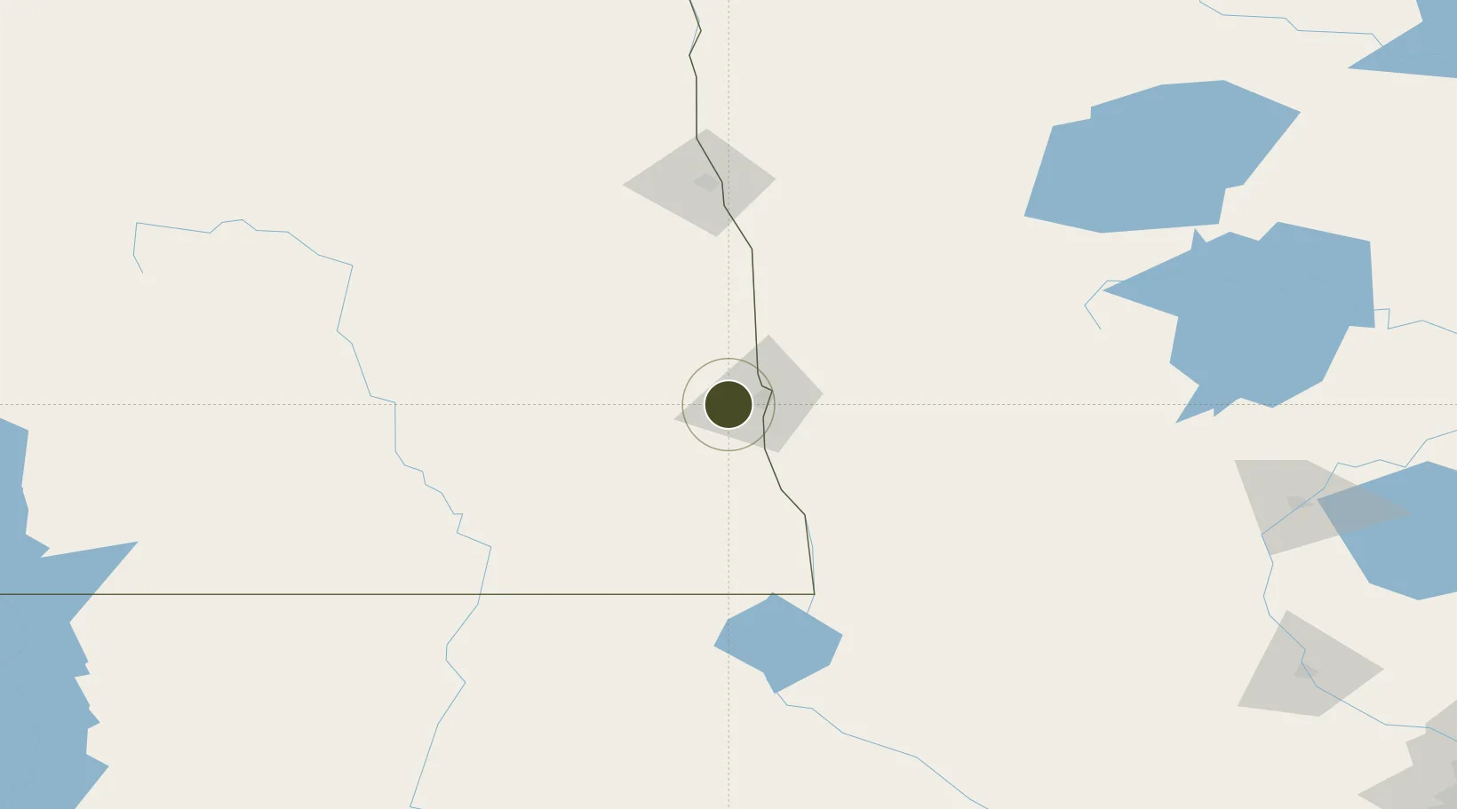
46.8541°, -96.9686°
370.6 km
Nearest port
13.8 km
Nearest airport

Gateway access

Nearest neighbours — logibook spatial index (haversine) over the source coordinates

Zone profile

Zone type
Foreign Trade Zone
Open Zone Map
Region
North Dakota
Open Zone Map
Status
Active
Open Zone Map
Management
Public
Open Zone Map
Operator
Municipal Airport Authority of the City of Fargo
Open Zone Map
Legal framework
Foreign-Trade Zones Act
Open Zone Map

Location

Location of ozm-4846
Natural Earth 10m (public domain) · North Dakota · ozm-4846 · 46.85, -96.97GoogleOSMYandex

Nearby Logistics Neighbours

Ports
  1. 1Duluth371 km
  2. 2Superior373 km
  3. 3Two Harbors404 km
  4. 4Washburn464 km
  5. 5Ashland466 km
Nearest neighbours — logibook spatial index (haversine) over the source coordinates
Airports
  1. 1Hector International Airport14 km
  2. 2Grand Forks International Airport123 km
  3. 3Grand Forks Air Force Base127 km
  4. 4Jamestown Regional Airport130 km
  5. 5Thief River Falls Regional Airport147 km
Nearest neighbours — logibook spatial index (haversine) over the source coordinates
Cities
  1. 1Horace11 km
  2. 2Grandin42 km
  3. 3Brushvale59 km
  4. 4Ada60 km
  5. 5Lake Park67 km
Nearest neighbours — logibook spatial index (haversine) over the source coordinates
Trade Zones
  1. 1FTZ No. 103 Grand Forks119 km
  2. 2FTZ No. 259 Koochiching County254 km
  3. 3Winnipegs Centreport Canada338 km
  4. 4FTZ No. 119 Minneapolis-St. Paul357 km
  5. 5FTZ No. 051 Duluth359 km
Nearest neighbours — logibook spatial index (haversine) over the source coordinates
DatabookThe Record of Consolidated Knowledge
United States beyond logistics?
Browse databook

All Sources

Trade ZonesOpen Zone Map
CC BY
Portsthe NGA World Port Index
Public domain (US gov)
AirportsOurAirports
Public domain
LocationsUN/LOCODE
UN/LOCODE — free
← United States trade zones