Transport Functions
Port
Airport
Hub Profile
Place type
Locality
Region
Nunavut
Time zone
America/Rankin_Inlet
Elevation
1 m
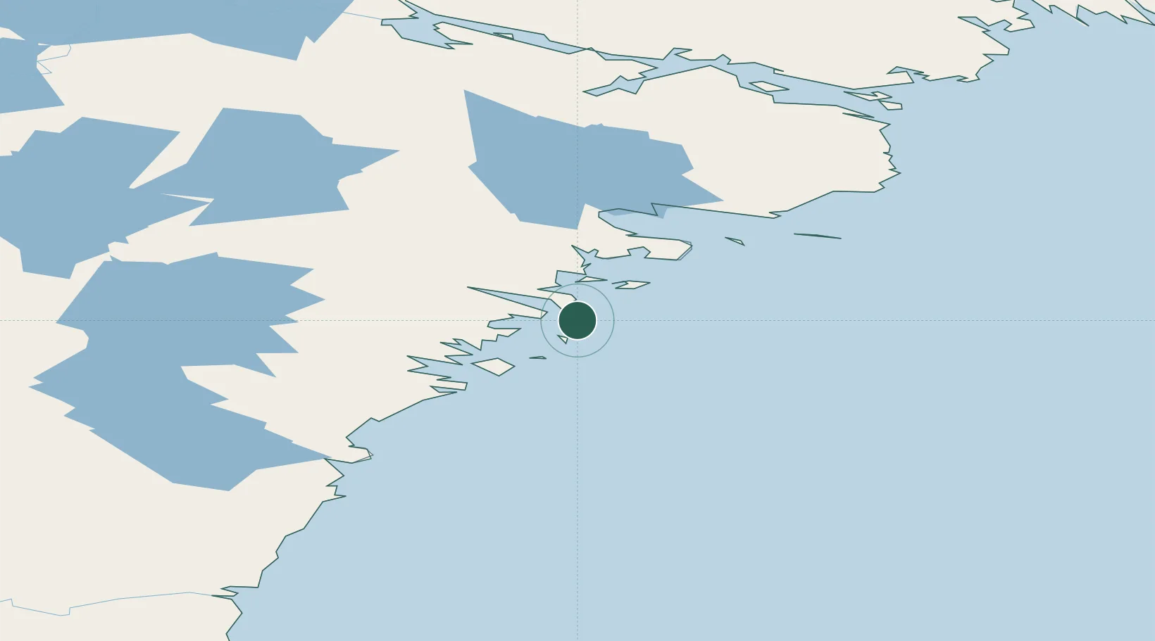
Location
Nearby Logistics Neighbours
Cities
- 1Rankin Inlet77 km
- 2Arviat142 km
- 3Chesterfield Inlet161 km
- 4Baker Lake295 km
- 5Churchill388 km
Ports
- 1Churchill387 km
- 2Pond Inlet1347 km
- 3Thunder Bay1545 km
- 4Heron Bay1552 km
- 5Grand Marais1609 km
Airports
- 1Whale Cove Airport8 km
- 2Rankin Inlet Airport76 km
- 3Arviat Airport143 km
- 4Chesterfield Inlet Airport162 km
- 5Baker Lake Airport295 km
Trade Zones
- 1Winnipegs Centreport Canada1393 km
- 2Global Transportation Hub Authority1498 km
- 3Port Alberta - Edmonton FTZ1539 km
- 4FTZ No. 259 Koochiching County1548 km
- 5FTZ No. 103 Grand Forks1611 km
DatabookThe Record of Consolidated Knowledge
Canada beyond logistics?