Transport Functions
Road
Multimodal
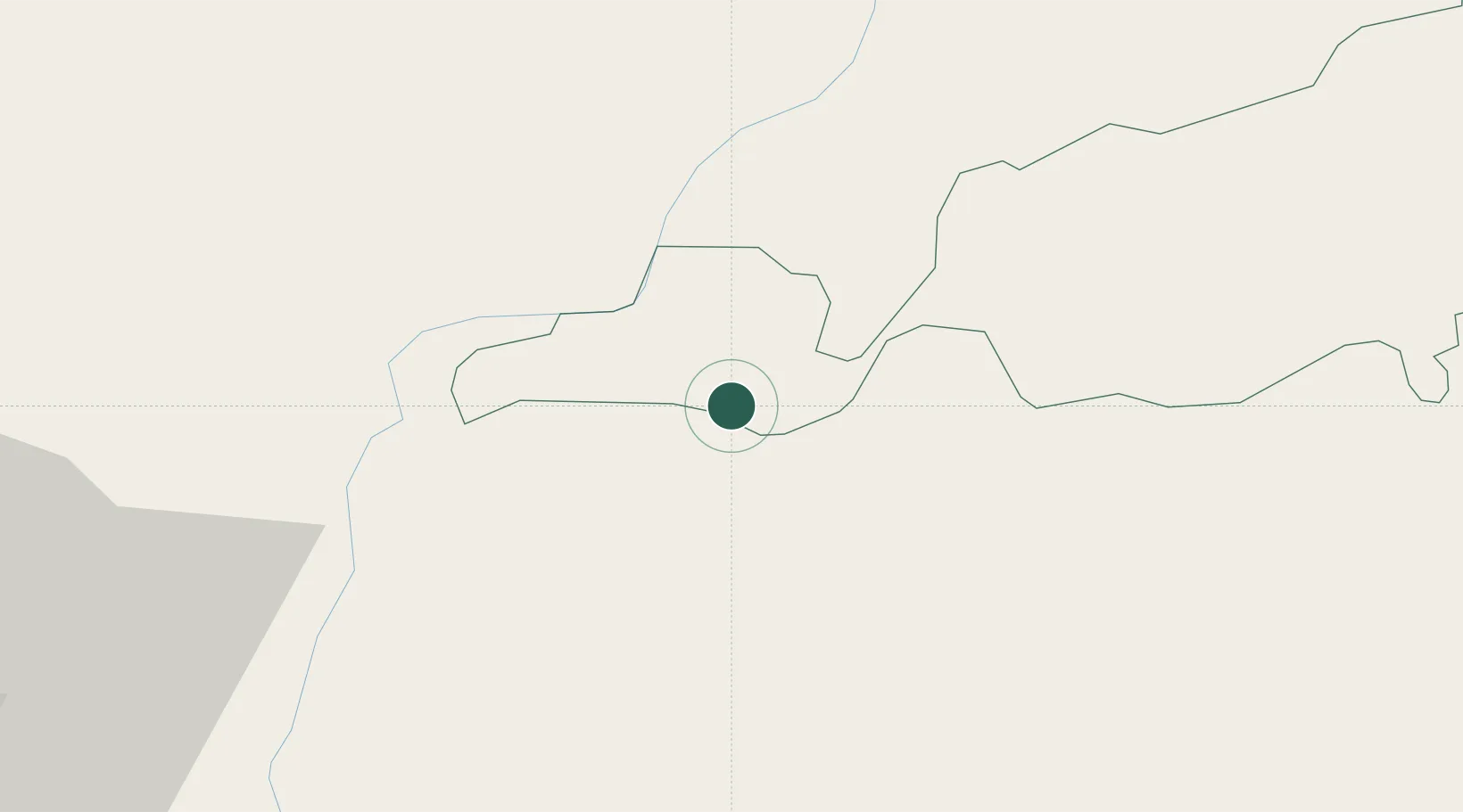
Hub Profile
Region
45
Location
Nearby Logistics Neighbours
Cities
- 1Samdrup Jongkhar25 km
- 2Phuntsho Raptenling28 km
- 3Kamardwisa Lcs71 km
- 4Gelephu76 km
- 5Amingaon (Gauhati)81 km
Ports
- 1Chittagong502 km
- 2Mongla510 km
- 3Calcutta557 km
- 4Haldia Port621 km
- 5Sittwe760 km
Airports
- 1Yongphulla Airport57 km
- 2Gelephu Airport79 km
- 3Lokpriya Gopinath Bordoloi International Airport84 km
- 4Bathpalathang Airport98 km
- 5Shillong Airport142 km
Trade Zones
- 1Motanga Industrial Park24 km
- 2Bondeyma Industrial Park53 km
- 3Jigmeling Industrial Park98 km
- 4Kurigram Economic Zone - 1194 km
- 5Dhamdum Industrial Park216 km
DatabookThe Record of Consolidated Knowledge
Bhutan beyond logistics?