UN/LOCODE hub · India
INPBL

Kamardwisa Lcs

26.3167°, 90.7833°
1
Transport functions

Transport Functions

Multimodal
UN/LOCODE

Hub Profile

Region
AS
GeoNames

Location

Location of INPBL
Natural Earth 10m (public domain) · AS · INPBL · 26.32, 90.78GoogleOSMYandex

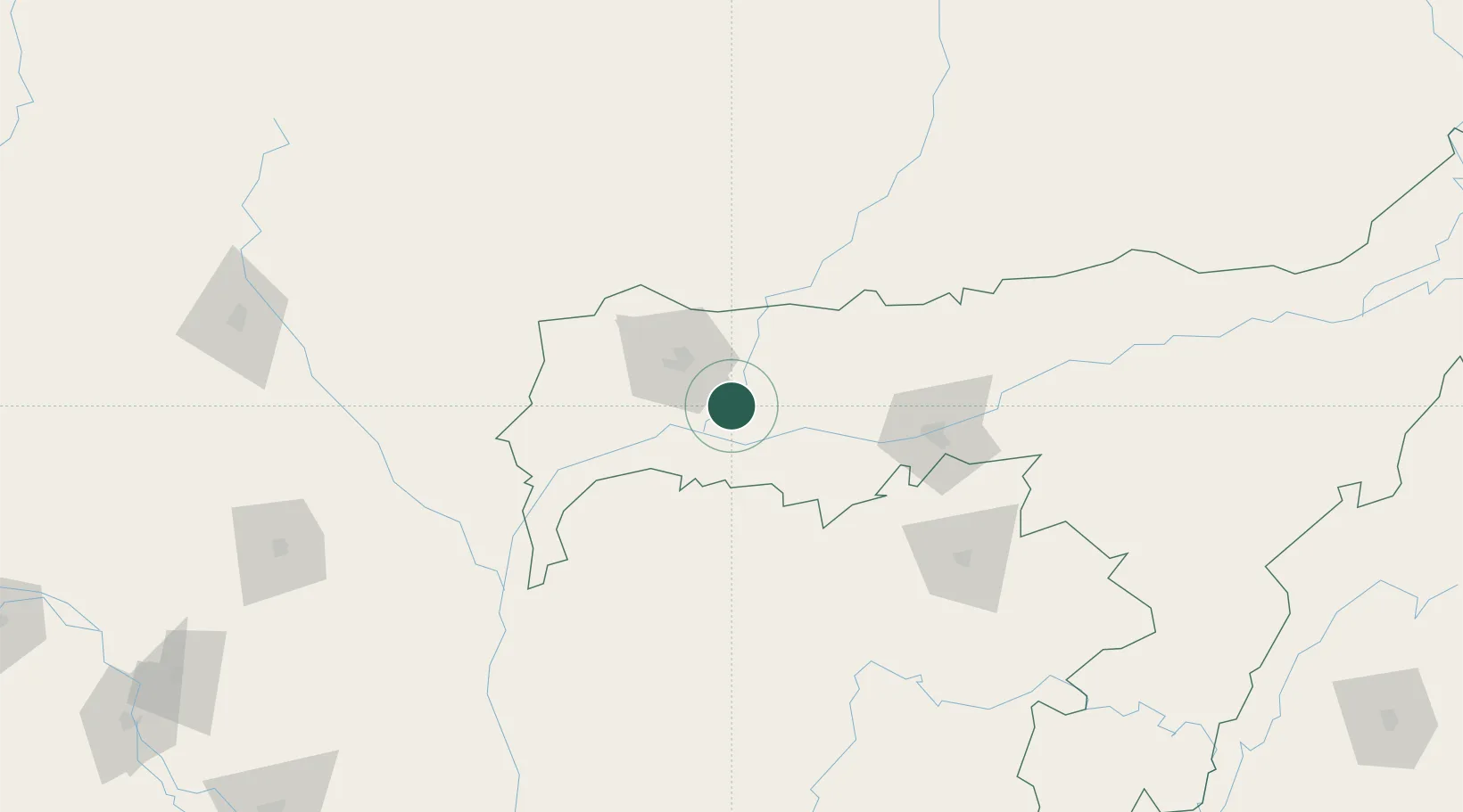
Nearby Logistics Neighbours

Cities
  1. 1Gelephu66 km
  2. 2Pelzomthang (Nganglam)71 km
  3. 3Sarpang79 km
  4. 4Samdrup Jongkhar88 km
  5. 5Phuntsho Raptenling91 km
Nearest neighbours — logibook spatial index (haversine) over the source coordinates
Ports
  1. 1Mongla445 km
  2. 2Chittagong457 km
  3. 3Calcutta487 km
  4. 4Haldia Port551 km
  5. 5Sittwe721 km
Nearest neighbours — logibook spatial index (haversine) over the source coordinates
Airports
  1. 1Gelephu Airport71 km
  2. 2Lokpriya Gopinath Bordoloi International Airport83 km
  3. 3Baljek Airport85 km
  4. 4Yongphulla Airport127 km
  5. 5Shillong Airport138 km
Nearest neighbours — logibook spatial index (haversine) over the source coordinates
Trade Zones
  1. 1Jigmeling Industrial Park80 km
  2. 2Motanga Industrial Park89 km
  3. 3Bondeyma Industrial Park116 km
  4. 4Kurigram Economic Zone - 1127 km
  5. 5Netrakona Economic Zone - 1160 km
Nearest neighbours — logibook spatial index (haversine) over the source coordinates
DatabookThe Record of Consolidated Knowledge
India beyond logistics?
Browse databook

All Sources

LocationsUN/LOCODE
UN/LOCODE — free
Portsthe NGA World Port Index
Public domain (US gov)
AirportsOurAirports
Public domain
Trade Zonesthe World Bank SEZ database
CC BY 4.0
Trade ZonesOpen Zone Map
CC BY
← India locations