Channel & Berth Profile
Pilotage, Tugs & Services
Pilotage compulsoryYES
Pilotage availableYES
Tug assistanceYES
Potable waterYES
MedicalYES
Facilities & Capabilities
Container—
Ro-Ro—
Liquid bulk—
Dry bulk—
Oil terminal—
Break bulk—
Dry dock—
RepairsNO
Bunkering—
Rail linkYES
Dangerous cargo—
ISPS security—
Harbour Specifications
Harbour size
Small
Harbour type
Open Roadstead
Shelter
Fair
Water body
Bay of Bengal; Indian Ocean
Tidal range
2 m
Overhead limit
No
Pilotage
Yes
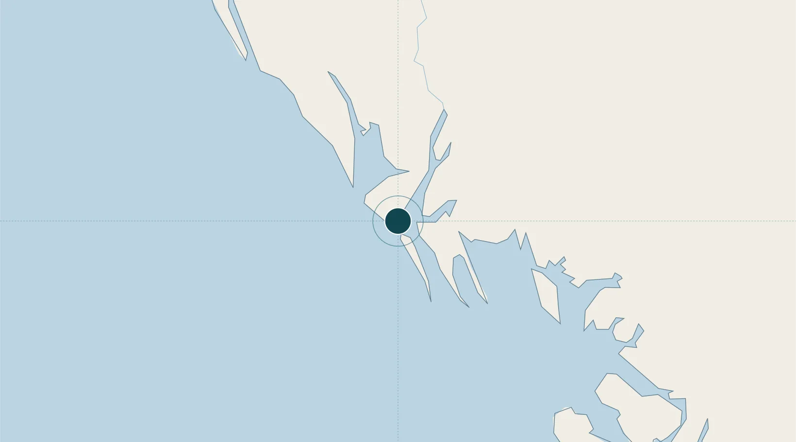
Location
Nearby Logistics Neighbours
Ports
- 1Chittagong268 km
- 2Bassein420 km
- 3Mongla429 km
- 4Rangoon509 km
- 5Haldia Port542 km
Cities
- 1Chattogram271 km
- 2Payra Port339 km
- 3Myit Nge383 km
- 4Mongla431 km
- 5Narayanganj455 km
Airports
- 1Sittwe Airport3 km
- 2Kyaukpyu Airport103 km
- 3Cox's Bazar Airport177 km
- 4Magway Airport213 km
- 5Thandwe Airport237 km
Trade Zones
DatabookThe Record of Consolidated Knowledge
Myanmar (Burma) beyond logistics?