Medium airport · Bhutan
Gelephu AirportVQGP
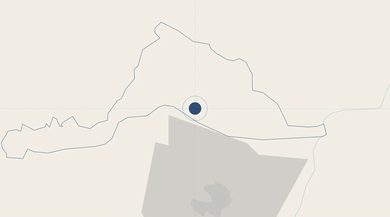
26.8846°, 90.4641°
4,921 ft
Longest runway
1
Runways
980 ft
Elevation
Runway & Layout

Runways · 1
| Runway | Dimensions | Surface | True heading | Lit |
|---|---|---|---|---|
| 11/29 | 4,921 × 115ft | Asphalt | 118° | — |
Airport Specifications
IATA code
GLU
ICAO code
VQGP
Airport class
Medium airport
Scheduled service
No
Runway surface
Asphalt
Served city
Gelephu
Location
Nearby Logistics Neighbours
Airports
- 1Bathpalathang Airport80 km
- 2Hashimara Air Force Station111 km
- 3Yongphulla Airport112 km
- 4Paro International Airport118 km
- 5Baljek Airport137 km
Cities
- 1Gelephu4 km
- 2Sarpang20 km
- 3Samtse51 km
- 4Lhamoizingkha66 km
- 5Kamardwisa Lcs71 km
Ports
- 1Mongla499 km
- 2Chittagong526 km
- 3Calcutta528 km
- 4Haldia Port593 km
- 5Dhamra763 km
Trade Zones
- 1Jigmeling Industrial Park20 km
- 2Bondeyma Industrial Park88 km
- 3Motanga Industrial Park103 km
- 4Dhamdum Industrial Park137 km
- 5Kurigram Economic Zone - 1145 km
DatabookThe Record of Consolidated Knowledge
Bhutan beyond logistics?