Diversified Zone · Bhutan
Jigmeling Industrial Park Active
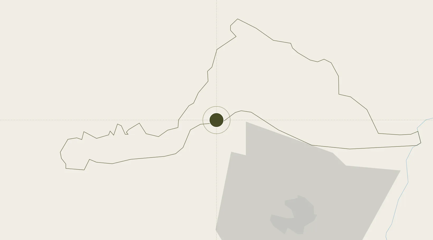
26.8654°, 90.2655°
296 ha
Zone area
493.7 km
Nearest port
19.8 km
Nearest airport
Gateway access
Zone profile
Zone type
Diversified Zone
Region
Geylegphug
Status
Active
Management
Public
Operator
Ministry of Economic Affairs, Bhutan Economic Zones Authority
Legal framework
Special Economic Zones Policy By 2010/11
Location
Nearby Logistics Neighbours
Ports
- 1Mongla494 km
- 2Calcutta518 km
- 3Chittagong530 km
- 4Haldia Port583 km
- 5Dhamra752 km
Airports
- 1Gelephu Airport20 km
- 2Hashimara Air Force Station91 km
- 3Bathpalathang Airport91 km
- 4Paro International Airport103 km
- 5Yongphulla Airport131 km
Cities
- 1Sarpang2 km
- 2Gelephu22 km
- 3Samtse31 km
- 4Lhamoizingkha47 km
- 5Kamardwisa Lcs80 km
Trade Zones
- 1Bondeyma Industrial Park106 km
- 2Dhamdum Industrial Park118 km
- 3Motanga Industrial Park122 km
- 4Kurigram Economic Zone - 1133 km
- 5Debiganj Economic Zone: Sujon172 km
DatabookThe Record of Consolidated Knowledge
Bhutan beyond logistics?