UN/LOCODE hub · Bhutan
BTPRL

Phuntsho Raptenling

26.7833°, 91.5333°
2
Transport functions

Transport Functions

Road
Multimodal
UN/LOCODE

Hub Profile

Region
45
GeoNames

Location

Location of BTPRL
Natural Earth 10m (public domain) · 45 · BTPRL · 26.78, 91.53GoogleOSMYandex

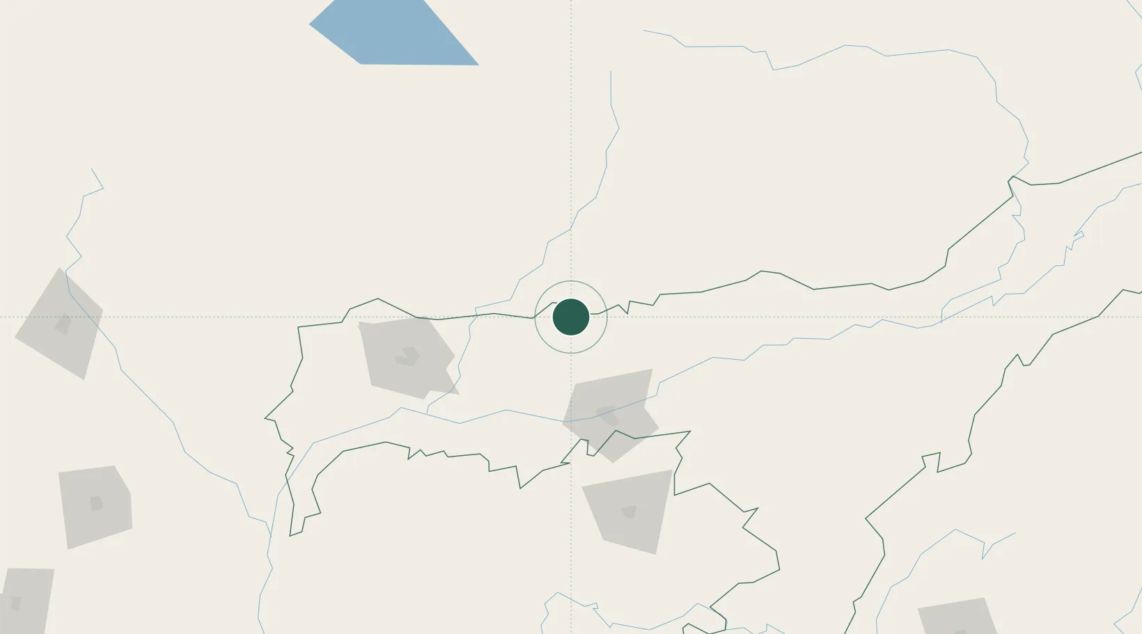
Nearby Logistics Neighbours

Cities
  1. 1Samdrup Jongkhar3 km
  2. 2Pelzomthang (Nganglam)28 km
  3. 3Amingaon (Gauhati)68 km
  4. 4Kamardwisa Lcs91 km
  5. 5Gelephu105 km
Nearest neighbours — logibook spatial index (haversine) over the source coordinates
Ports
  1. 1Chittagong498 km
  2. 2Mongla518 km
  3. 3Calcutta571 km
  4. 4Haldia Port635 km
  5. 5Sittwe752 km
Nearest neighbours — logibook spatial index (haversine) over the source coordinates
Airports
  1. 1Yongphulla Airport53 km
  2. 2Lokpriya Gopinath Bordoloi International Airport75 km
  3. 3Gelephu Airport107 km
  4. 4Bathpalathang Airport116 km
  5. 5Tezpur Airport125 km
Nearest neighbours — logibook spatial index (haversine) over the source coordinates
Trade Zones
  1. 1Motanga Industrial Park5 km
  2. 2Bondeyma Industrial Park62 km
  3. 3Jigmeling Industrial Park126 km
  4. 4Sylhet Special Economic Zone215 km
  5. 5Kurigram Economic Zone - 1217 km
Nearest neighbours — logibook spatial index (haversine) over the source coordinates
DatabookThe Record of Consolidated Knowledge
Bhutan beyond logistics?
Browse databook

All Sources

LocationsUN/LOCODE
UN/LOCODE — free
Portsthe NGA World Port Index
Public domain (US gov)
AirportsOurAirports
Public domain
Trade Zonesthe World Bank SEZ database
CC BY 4.0
Trade ZonesOpen Zone Map
CC BY
← Bhutan locations