Small airport · Bhutan

Bathpalathang AirportVQBT
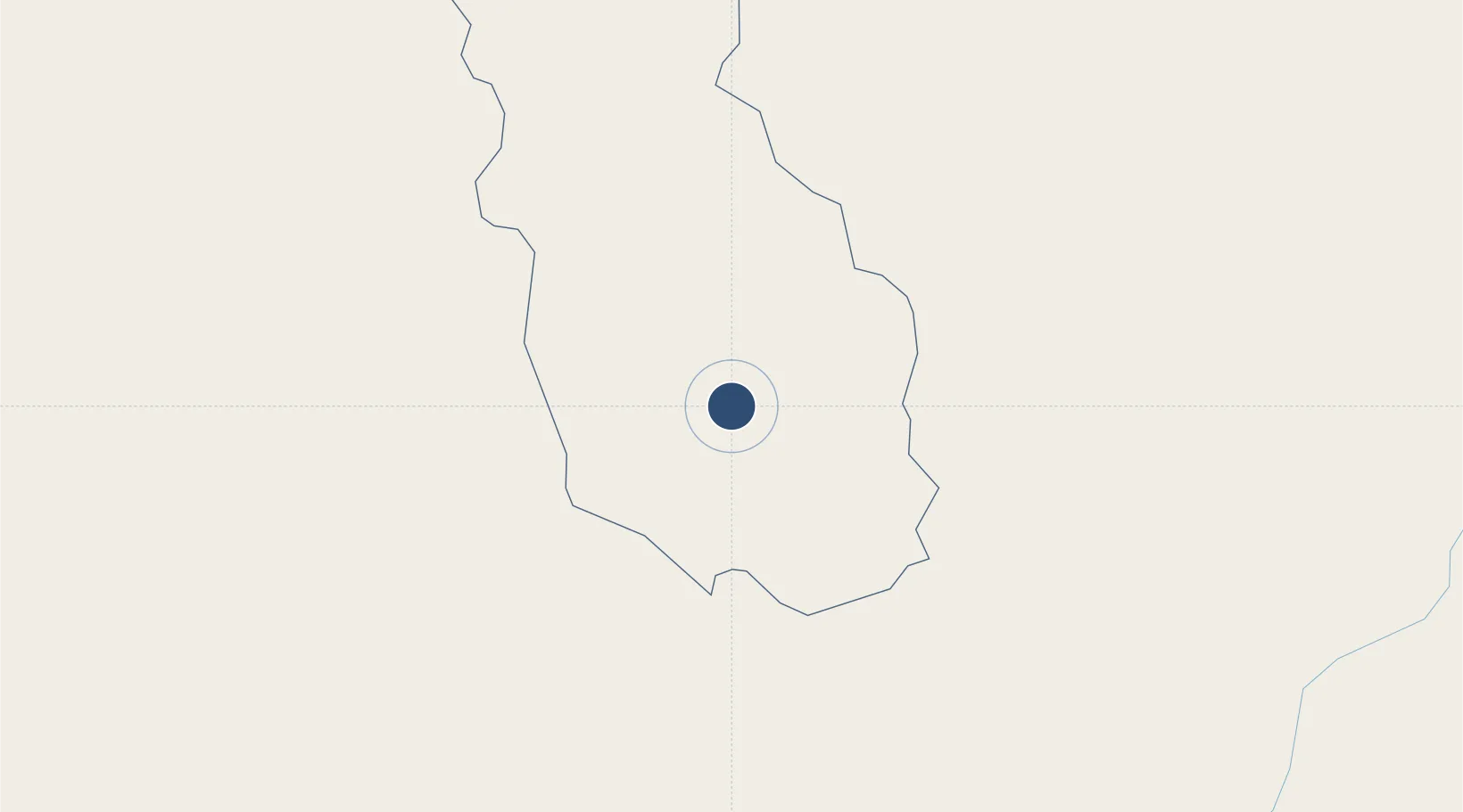
27.5622°, 90.7471°
3,937 ft
Longest runway
1
Runways
8,485 ft
Elevation

Runway & Layout

Bathpalathang Airport runway & taxiway layout
Runway & taxiway layout — OpenStreetMap (ODbL) / OurAirports

Radio Frequencies

TWR
122.55 MHz
OurAirports

Runways · 1

RunwayDimensions SurfaceTrue headingLit
14/32 3,937 × —ft Asphalt
OurAirports

Airport Specifications

IATA code
BUT
OurAirports
ICAO code
VQBT
OurAirports
Airport class
Small airport
OurAirports
Scheduled service
Yes
OurAirports
Runway surface
Asphalt
OurAirports
Served city
Jakar
OurAirports

Location

Location of VQBT
Natural Earth 10m (public domain) · Bumthang · VQBT · 27.56, 90.75GoogleOSMYandex

Nearby Logistics Neighbours

Airports
  1. 1Gelephu Airport80 km
  2. 2Yongphulla Airport83 km
  3. 3Paro International Airport132 km
  4. 4Hashimara Air Force Station167 km
  5. 5Lokpriya Gopinath Bordoloi International Airport182 km
Nearest neighbours — logibook spatial index (haversine) over the source coordinates
Cities
  1. 1Gelephu83 km
  2. 2Sarpang92 km
  3. 3Pelzomthang (Nganglam)98 km
  4. 4Samtse109 km
  5. 5Samdrup Jongkhar114 km
Nearest neighbours — logibook spatial index (haversine) over the source coordinates
Ports
  1. 1Mongla578 km
  2. 2Chittagong593 km
  3. 3Calcutta608 km
  4. 4Haldia Port673 km
  5. 5Dhamra842 km
Nearest neighbours — logibook spatial index (haversine) over the source coordinates
Trade Zones
  1. 1Bondeyma Industrial Park58 km
  2. 2Jigmeling Industrial Park91 km
  3. 3Motanga Industrial Park112 km
  4. 4Dhamdum Industrial Park180 km
  5. 5Kurigram Economic Zone - 1223 km
Nearest neighbours — logibook spatial index (haversine) over the source coordinates
DatabookThe Record of Consolidated Knowledge
Bhutan beyond logistics?
Browse databook

All Sources

AirportsOurAirports
Public domain
Portsthe NGA World Port Index
Public domain (US gov)
LocationsUN/LOCODE
UN/LOCODE — free
Trade Zonesthe World Bank SEZ database
CC BY 4.0
Trade ZonesOpen Zone Map
CC BY
InfrastructureOpenStreetMap
ODbL 1.0
← Bhutan airports