Large airport · India
Lokpriya Gopinath Bordoloi International AirportVEGT
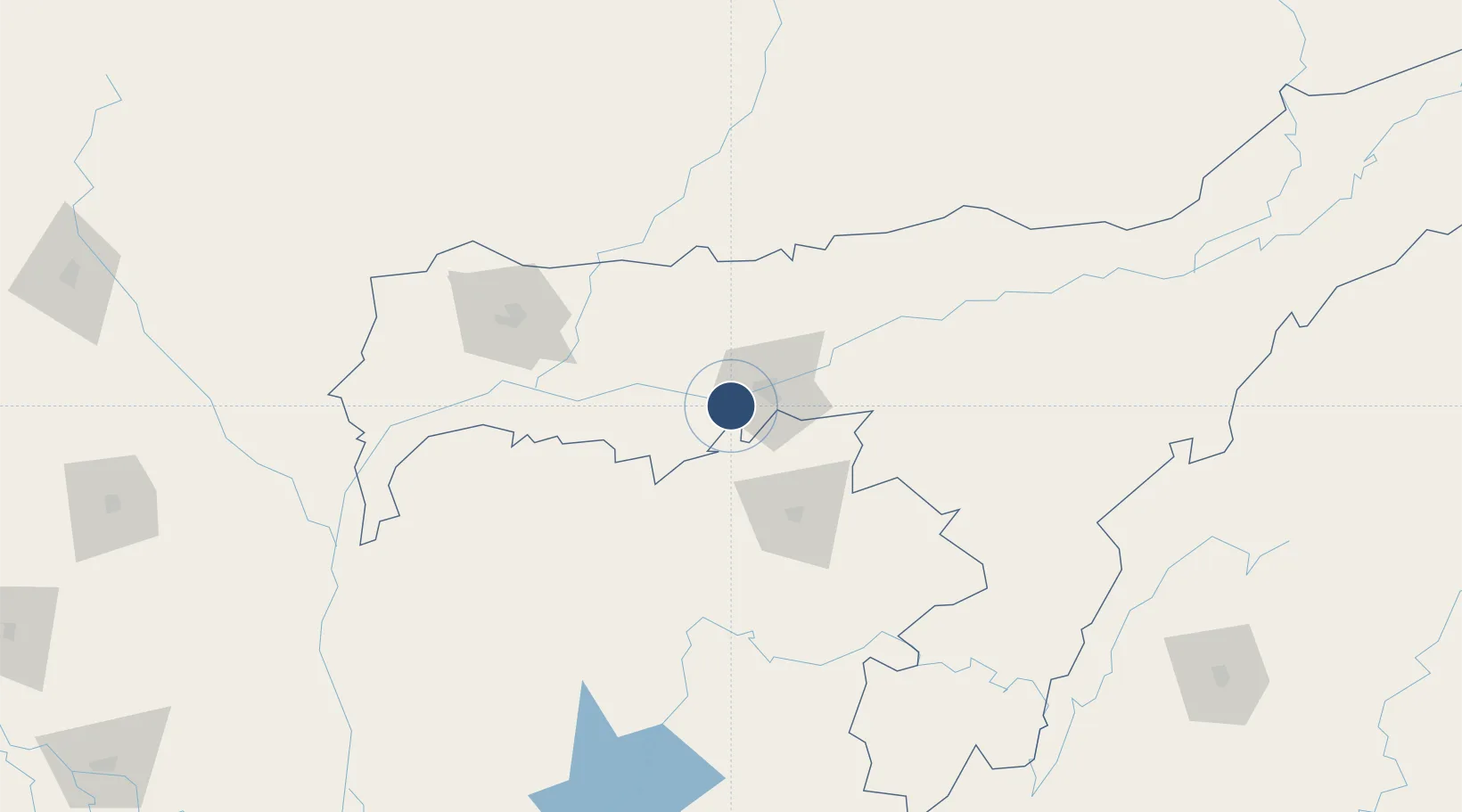
26.1067°, 91.5852°
9,000 ft
Longest runway
1
Runways
162 ft
Elevation
Runway & Layout

Radio Frequencies
ATIS
126.6 MHz
TWR
118.75 MHz
GND
121.9 MHz
APP
123.3 MHz
Navaids
BPN VOR-DME Barapani 116.00 MHz
GGT VOR-DME Guwahati 117.60 MHz
GT NDB Guwahati 360 kHz
Runways · 1
| Runway | Dimensions | Surface | True heading | Lit |
|---|---|---|---|---|
| 02/20 | 9,000 × 150ft | Asphalt | 023° | ✓ |
Airport Specifications
IATA code
GAU
ICAO code
VEGT
Airport class
Large airport
Scheduled service
Yes
Runway surface
Asphalt
Served city
Guwahati
Location
Nearby Logistics Neighbours
Airports
- 1Shillong Airport60 km
- 2Yongphulla Airport128 km
- 3Osmany International Airport130 km
- 4Baljek Airport134 km
- 5Tezpur Airport137 km
Cities
- 1Amingaon (Gauhati)13 km
- 2Phuntsho Raptenling75 km
- 3Samdrup Jongkhar76 km
- 4Kamardwisa Lcs83 km
- 5Pelzomthang (Nganglam)84 km
Ports
- 1Chittagong422 km
- 2Mongla452 km
- 3Calcutta515 km
- 4Haldia Port577 km
- 5Sittwe678 km
Trade Zones
- 1Motanga Industrial Park78 km
- 2Bondeyma Industrial Park135 km
- 3Sylhet Special Economic Zone141 km
- 4Jigmeling Industrial Park156 km
- 5Netrakona Economic Zone - 1162 km
DatabookThe Record of Consolidated Knowledge
India beyond logistics?