Diversified Zone · Bhutan
Bondeyma Industrial Park Under Development
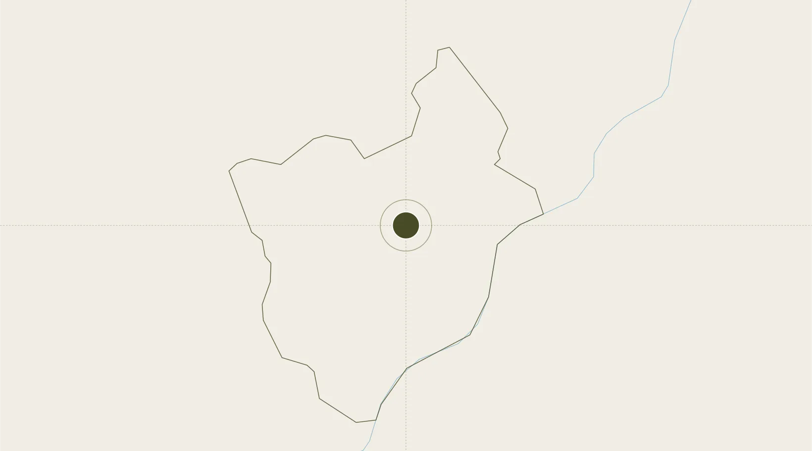
27.2757°, 91.2354°
44 ha
Zone area
554.5 km
Nearest port
27.7 km
Nearest airport
Gateway access
Zone profile
Zone type
Diversified Zone
Region
Mongar
Status
Under Development
Management
Public
Operator
Ministry of Economic Affairs, Bhutan Economic Zones Authority
Legal framework
Special Economic Zones Policy By 2010/11
Location
Nearby Logistics Neighbours
Ports
- 1Chittagong555 km
- 2Mongla560 km
- 3Calcutta601 km
- 4Haldia Port666 km
- 5Sittwe812 km
Airports
- 1Yongphulla Airport28 km
- 2Bathpalathang Airport58 km
- 3Gelephu Airport88 km
- 4Lokpriya Gopinath Bordoloi International Airport135 km
- 5Tezpur Airport166 km
Cities
- 1Pelzomthang (Nganglam)53 km
- 2Samdrup Jongkhar61 km
- 3Phuntsho Raptenling62 km
- 4Gelephu88 km
- 5Sarpang107 km
Trade Zones
- 1Motanga Industrial Park58 km
- 2Jigmeling Industrial Park106 km
- 3Dhamdum Industrial Park217 km
- 4Kurigram Economic Zone - 1227 km
- 5Netrakona Economic Zone - 1271 km
DatabookThe Record of Consolidated Knowledge
Bhutan beyond logistics?