Medium airport · India
Shillong AirportVEBI
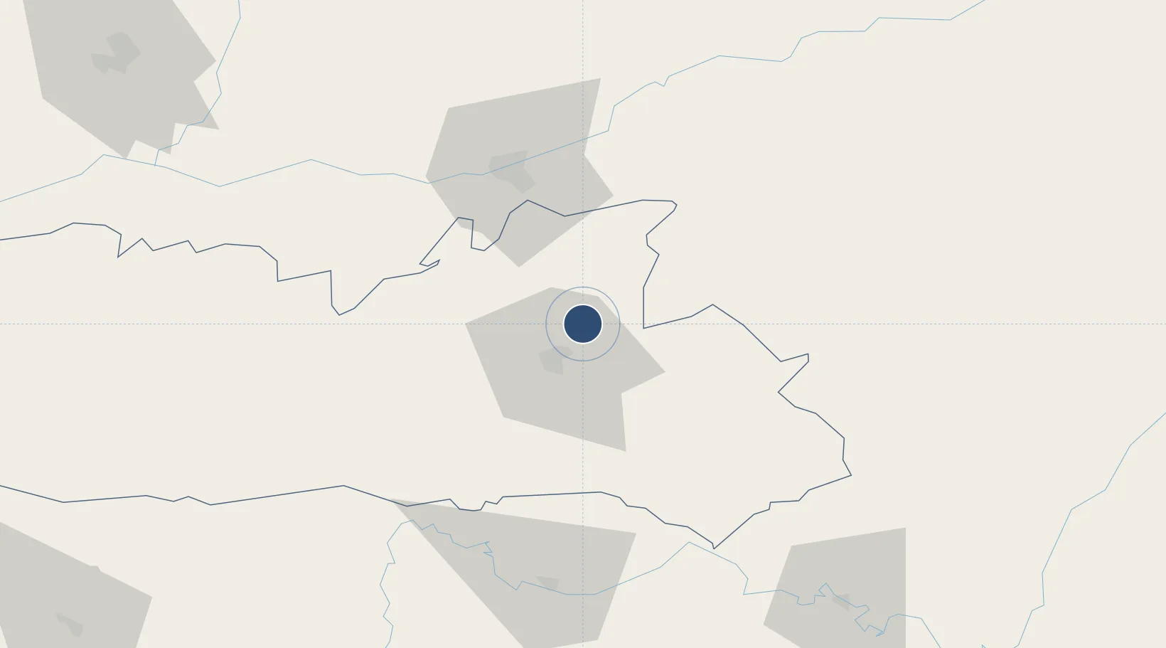
25.7036°, 91.9787°
6,000 ft
Longest runway
1
Runways
2,910 ft
Elevation
Runway & Layout

Radio Frequencies
TWR
122.3 MHz
Navaids
BR NDB Barapani 320 kHz
Runways · 1
| Runway | Dimensions | Surface | True heading | Lit |
|---|---|---|---|---|
| 04/22 | 6,000 × 150ft | Concrete | 039° | — |
Airport Specifications
IATA code
SHL
ICAO code
VEBI
Airport class
Medium airport
Scheduled service
Yes
Runway surface
Concrete
Served city
Shillong
Location
Nearby Logistics Neighbours
Airports
- 1Lokpriya Gopinath Bordoloi International Airport60 km
- 2Osmany International Airport83 km
- 3Silchar Airport134 km
- 4Tezpur Airport138 km
- 5Kailashahar Airport155 km
Cities
- 1Amingaon (Gauhati)61 km
- 2Phuntsho Raptenling128 km
- 3Samdrup Jongkhar129 km
- 4Moulvi Bazar137 km
- 5Kamardwisa Lcs138 km
Ports
- 1Chittagong377 km
- 2Mongla433 km
- 3Calcutta510 km
- 4Haldia Port570 km
- 5Sittwe627 km
Trade Zones
- 1Sylhet Special Economic Zone93 km
- 2Shreehatta Srihatta Economic Zone124 km
- 3Motanga Industrial Park132 km
- 4Netrakona Economic Zone - 1156 km
- 5Habiganj Economic Zone158 km
DatabookThe Record of Consolidated Knowledge
India beyond logistics?