Transport Functions
Road
Airport
Multimodal
Hub Profile
Region
31
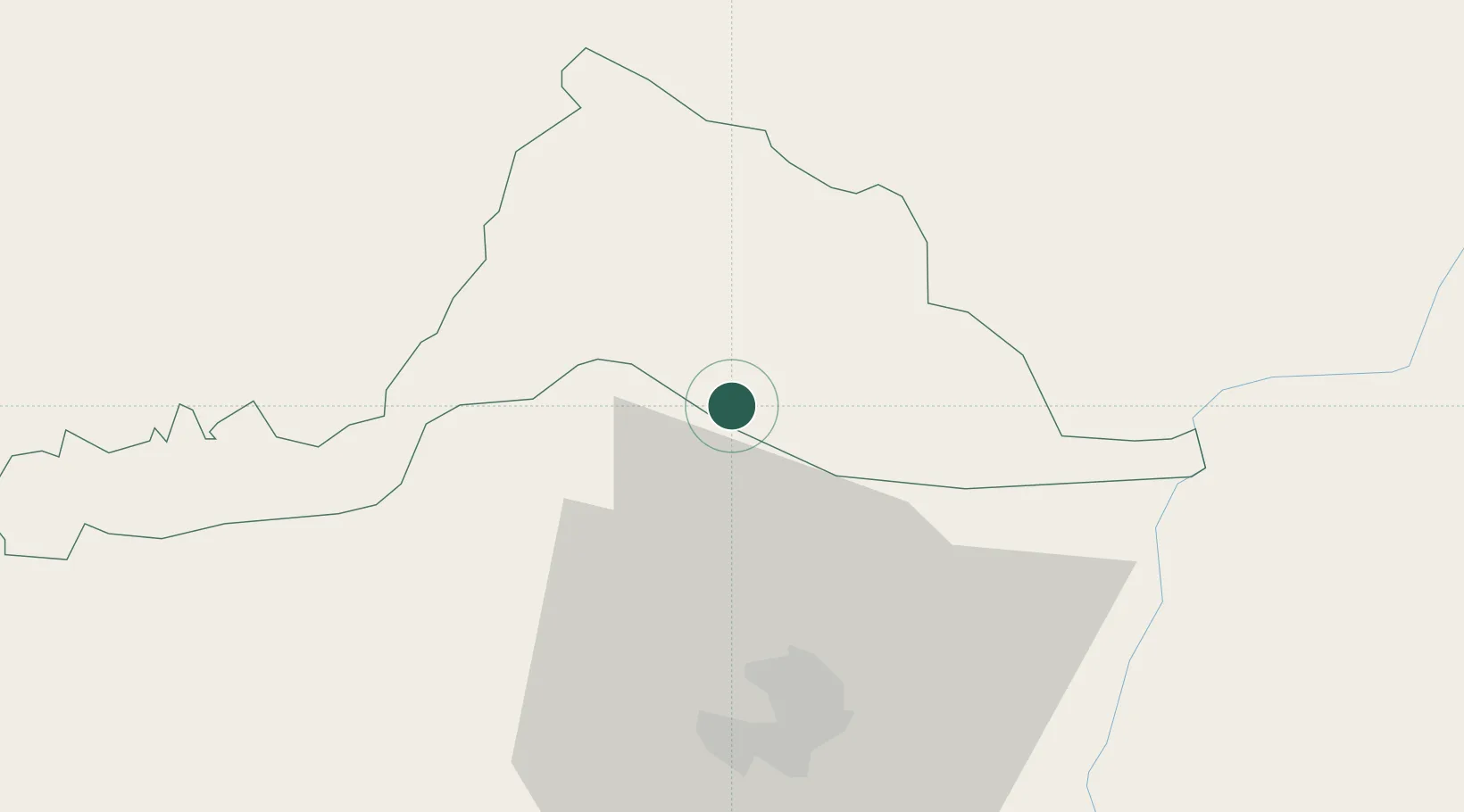
Location
Nearby Logistics Neighbours
Cities
- 1Sarpang22 km
- 2Samtse53 km
- 3Kamardwisa Lcs66 km
- 4Lhamoizingkha67 km
- 5Pelzomthang (Nganglam)76 km
Ports
- 1Mongla496 km
- 2Chittagong522 km
- 3Calcutta525 km
- 4Haldia Port590 km
- 5Dhamra760 km
Airports
- 1Gelephu Airport4 km
- 2Bathpalathang Airport83 km
- 3Yongphulla Airport112 km
- 4Hashimara Air Force Station112 km
- 5Paro International Airport122 km
Trade Zones
- 1Jigmeling Industrial Park22 km
- 2Bondeyma Industrial Park88 km
- 3Motanga Industrial Park100 km
- 4Dhamdum Industrial Park139 km
- 5Kurigram Economic Zone - 1143 km
DatabookThe Record of Consolidated Knowledge
Bhutan beyond logistics?