UN/LOCODE hub · Bhutan
BTSJR
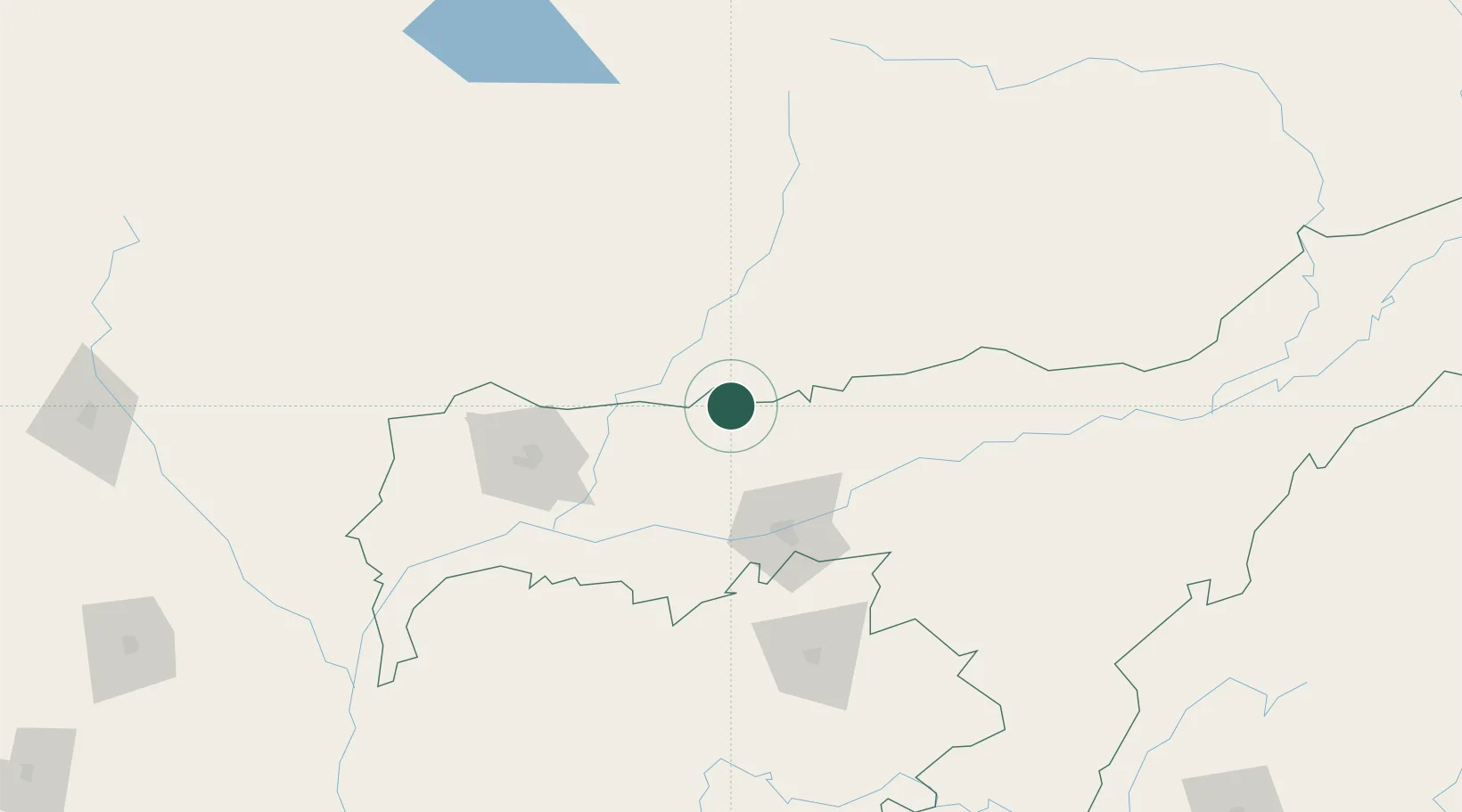
Samdrup Jongkhar
26.7833°, 91.5000°
9,325
Population
2
Transport functions
Transport Functions
Road
Multimodal
Hub Profile
Place type
Regional capital
Region
Samdrup Jongkhar
Population
9,325
Time zone
Asia/Thimphu
Elevation
173 m
Location
Nearby Logistics Neighbours
Cities
- 1Phuntsho Raptenling3 km
- 2Pelzomthang (Nganglam)25 km
- 3Amingaon (Gauhati)69 km
- 4Kamardwisa Lcs88 km
- 5Gelephu101 km
Ports
- 1Chittagong498 km
- 2Mongla517 km
- 3Calcutta569 km
- 4Haldia Port633 km
- 5Sittwe753 km
Airports
- 1Yongphulla Airport53 km
- 2Lokpriya Gopinath Bordoloi International Airport76 km
- 3Gelephu Airport103 km
- 4Bathpalathang Airport114 km
- 5Tezpur Airport128 km
Trade Zones
- 1Motanga Industrial Park2 km
- 2Bondeyma Industrial Park61 km
- 3Jigmeling Industrial Park123 km
- 4Kurigram Economic Zone - 1215 km
- 5Sylhet Special Economic Zone216 km
DatabookThe Record of Consolidated Knowledge
Bhutan beyond logistics?