Diversified Zone · Bhutan
Motanga Industrial Park Under Development
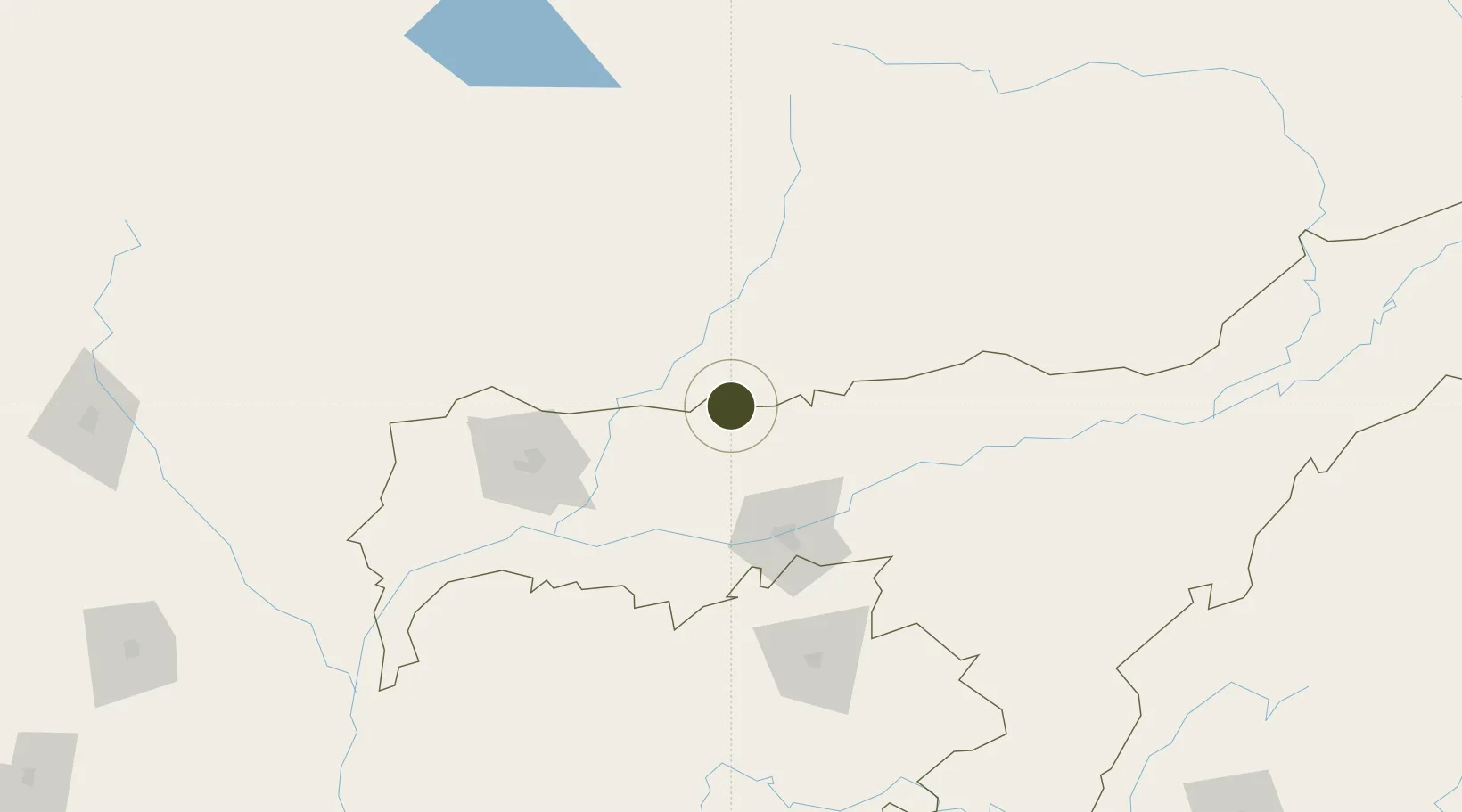
26.8040°, 91.4933°
58 ha
Zone area
500.0 km
Nearest port
50.3 km
Nearest airport
Gateway access
Zone profile
Zone type
Diversified Zone
Region
Assam
Status
Under Development
Management
Public
Operator
Ministry of Economic Affairs, Bhutan Economic Zones Authority
Legal framework
Special Economic Zones Policy By 2010/11
Location
Nearby Logistics Neighbours
Ports
- 1Chittagong500 km
- 2Mongla519 km
- 3Calcutta571 km
- 4Haldia Port634 km
- 5Sittwe756 km
Airports
- 1Yongphulla Airport50 km
- 2Lokpriya Gopinath Bordoloi International Airport78 km
- 3Gelephu Airport103 km
- 4Bathpalathang Airport112 km
- 5Tezpur Airport129 km
Cities
- 1Samdrup Jongkhar2 km
- 2Phuntsho Raptenling5 km
- 3Pelzomthang (Nganglam)24 km
- 4Amingaon (Gauhati)71 km
- 5Kamardwisa Lcs89 km
Trade Zones
- 1Bondeyma Industrial Park58 km
- 2Jigmeling Industrial Park122 km
- 3Kurigram Economic Zone - 1215 km
- 4Sylhet Special Economic Zone218 km
- 5Netrakona Economic Zone - 1227 km
DatabookThe Record of Consolidated Knowledge
Bhutan beyond logistics?