Transport Functions
Multimodal
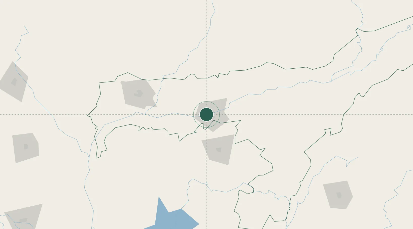
Hub Profile
Region
AS
Logistics facilities
1
Location
Nearby Logistics Neighbours
Cities
- 1Phuntsho Raptenling68 km
- 2Samdrup Jongkhar69 km
- 3Pelzomthang (Nganglam)81 km
- 4Kamardwisa Lcs91 km
- 5Gelephu140 km
Ports
- 1Chittagong430 km
- 2Mongla464 km
- 3Calcutta528 km
- 4Haldia Port590 km
- 5Sittwe684 km
Airports
- 1Lokpriya Gopinath Bordoloi International Airport13 km
- 2Shillong Airport61 km
- 3Yongphulla Airport120 km
- 4Tezpur Airport124 km
- 5Osmany International Airport137 km
Trade Zones
- 1Motanga Industrial Park71 km
- 2Bondeyma Industrial Park129 km
- 3Sylhet Special Economic Zone147 km
- 4Jigmeling Industrial Park160 km
- 5Shreehatta Srihatta Economic Zone173 km
DatabookThe Record of Consolidated Knowledge
India beyond logistics?