Diversified Zone · Bhutan
Dhamdum Industrial Park Active
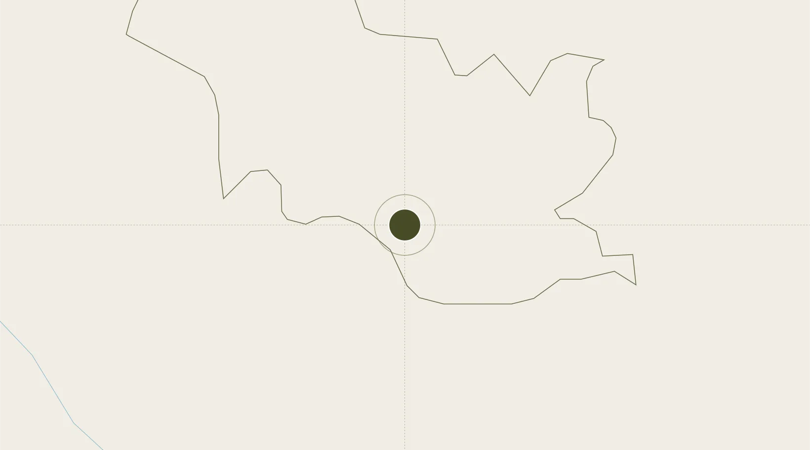
26.9120°, 89.0792°
141 ha
Zone area
490.8 km
Nearest port
37.3 km
Nearest airport
Gateway access
Zone profile
Zone type
Diversified Zone
Region
Samchi
Status
Active
Management
Public
Operator
Ministry of Economic Affairs, Bhutan Economic Zones Authority
Legal framework
Special Economic Zones Policy By 2010/11
Location
Nearby Logistics Neighbours
Ports
- 1Calcutta491 km
- 2Mongla497 km
- 3Haldia Port554 km
- 4Chittagong581 km
- 5Dhamra711 km
Airports
- 1Hashimara Air Force Station37 km
- 2Paro International Airport64 km
- 3Bagdogra Airport79 km
- 4Bhadrapur Airport106 km
- 5Saidpur Airport129 km
Cities
- 1Yangphelthang14 km
- 2Chuchungsa16 km
- 3Nagarkata Lcs16 km
- 4Pendenling16 km
- 5Nyonpaling17 km
Trade Zones
- 1Debiganj Economic Zone: Sujon94 km
- 2Panchagarh Economic Zone94 km
- 3Nilphamari Economic Zone115 km
- 4Jigmeling Industrial Park118 km
- 5Uttara Export Processing Zone119 km
DatabookThe Record of Consolidated Knowledge
Bhutan beyond logistics?