Transport Functions
Port
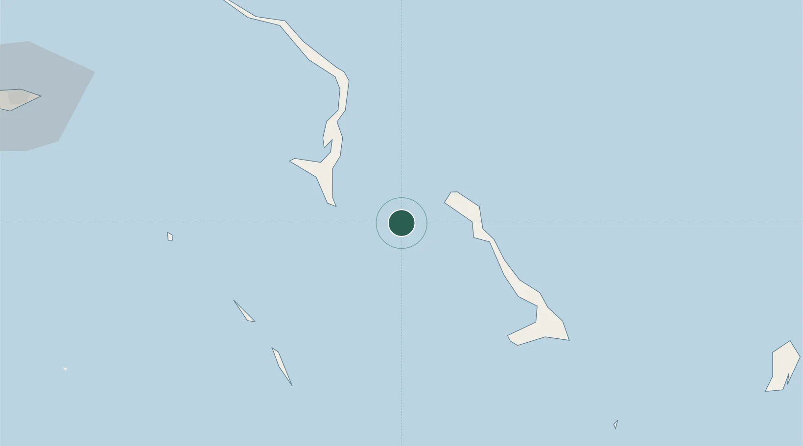
Location
Nearby Logistics Neighbours
Cities
- 1Rock Sound45 km
- 2Cape Eleuthera51 km
- 3The Bight60 km
- 4Bock Cay89 km
- 5Great Exuma Island117 km
Ports
- 1Cockburn152 km
- 2Nassau155 km
- 3Clifton Pier171 km
- 4South Riding Point323 km
- 5Freeport359 km
Airports
- 1Arthur's Town Airport25 km
- 2Rock Sound International Airport43 km
- 3New Bight Airport56 km
- 4Staniel Cay Airport70 km
- 5Governor's Harbour Airport89 km
Trade Zones
- 1Freeport Bahamas351 km
- 2Grand Bahama International Airport354 km
- 3FTZ No. 180 Miami (Wynwood)453 km
- 4FTZ No. 025 Broward County455 km
- 5FTZ No. 032 Miami462 km
DatabookThe Record of Consolidated Knowledge
Bahamas beyond logistics?