Transport Functions
Port
Airport
Hub Profile
Place type
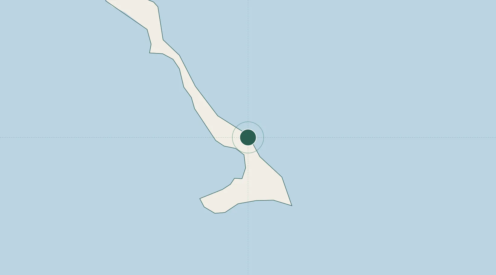
Populated place
Region
Cat Island
Time zone
America/Nassau
Elevation
9 m
Location
Nearby Logistics Neighbours
Cities
- 1Little San Salvador60 km
- 2Stella Maris80 km
- 3Cockburn Town95 km
- 4Bock Cay96 km
- 5Great Exuma Island98 km
Ports
- 1Cockburn93 km
- 2Nassau215 km
- 3Clifton Pier230 km
- 4Puerto Padre357 km
- 5Manati359 km
Airports
Trade Zones
- 1Freeport Bahamas410 km
- 2Grand Bahama International Airport414 km
- 3FTZ No. 180 Miami (Wynwood)512 km
- 4FTZ No. 025 Broward County514 km
- 5FTZ No. 032 Miami521 km
DatabookThe Record of Consolidated Knowledge
Bahamas beyond logistics?