UN/LOCODE hub · Bahamas
BSBKC

Bock Cay

23.8167°, -76.1667°
1
Transport functions

Transport Functions

Port
UN/LOCODE

Hub Profile

Region
EX
GeoNames

Location

Location of BSBKC
Natural Earth 10m (public domain) · EX · BSBKC · 23.82, -76.17GoogleOSMYandex

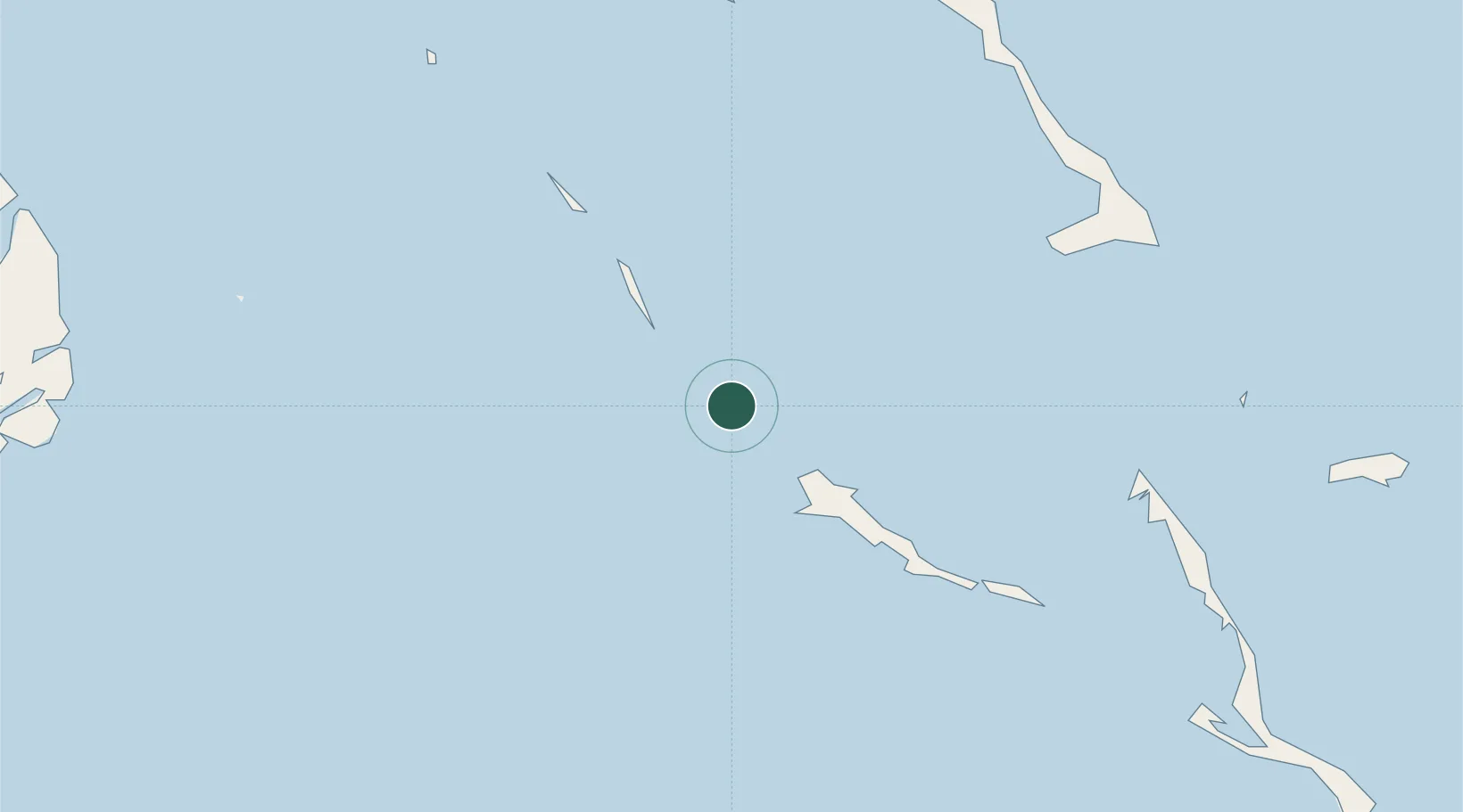
Nearby Logistics Neighbours

Cities
  1. 1Great Exuma Island46 km
  2. 2Little San Salvador89 km
  3. 3Stella Maris92 km
  4. 4The Bight96 km
  5. 5Cape Eleuthera113 km
Nearest neighbours — logibook spatial index (haversine) over the source coordinates
Ports
  1. 1Cockburn168 km
  2. 2Nassau185 km
  3. 3Clifton Pier192 km
  4. 4Nuevitas Bay276 km
  5. 5Manati281 km
Nearest neighbours — logibook spatial index (haversine) over the source coordinates
Airports
  1. 1Exuma International Airport41 km
  2. 2Staniel Cay Airport48 km
  3. 3New Bight Airport91 km
  4. 4Stella Maris Airport95 km
  5. 5Arthur's Town Airport103 km
Nearest neighbours — logibook spatial index (haversine) over the source coordinates
Trade Zones
  1. 1Freeport Bahamas393 km
  2. 2Grand Bahama International Airport397 km
  3. 3FTZ No. 180 Miami (Wynwood)464 km
  4. 4FTZ No. 025 Broward County472 km
  5. 5FTZ No. 032 Miami473 km
Nearest neighbours — logibook spatial index (haversine) over the source coordinates
DatabookThe Record of Consolidated Knowledge
Bahamas beyond logistics?
Browse databook

All Sources

LocationsUN/LOCODE
UN/LOCODE — free
Portsthe NGA World Port Index
Public domain (US gov)
AirportsOurAirports
Public domain
Trade Zonesthe World Bank SEZ database
CC BY 4.0
Trade ZonesOpen Zone Map
CC BY
← Bahamas locations