Medium airport · Bahamas

New Bight AirportMYCB
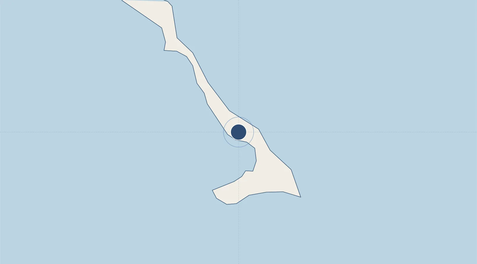
24.3153°, -75.4523°
5,050 ft
Longest runway
1
Runways
5 ft
Elevation

Runway & Layout

New Bight Airport runway & taxiway layout
Runway & taxiway layout — OpenStreetMap (ODbL) / OurAirports

Runways · 1

RunwayDimensions SurfaceTrue headingLit
09/27 5,050 × 100ft Asphalt 086°
OurAirports

Airport Specifications

IATA code
TBI
OurAirports
ICAO code
MYCB
OurAirports
Airport class
Medium airport
OurAirports
Scheduled service
Yes
OurAirports
Runway surface
Asphalt
OurAirports
Served city
Cat Island
OurAirports

Location

Location of MYCB
Natural Earth 10m (public domain) · Cat Island · MYCB · 24.32, -75.45GoogleOSMYandex

Nearby Logistics Neighbours

Airports
  1. 1Arthur's Town Airport42 km
  2. 2Stella Maris Airport84 km
  3. 3Exuma International Airport94 km
  4. 4Rock Sound International Airport97 km
  5. 5San Salvador International Airport98 km
Nearest neighbours — logibook spatial index (haversine) over the source coordinates
Cities
  1. 1The Bight5 km
  2. 2Little San Salvador56 km
  3. 3Stella Maris81 km
  4. 4Bock Cay91 km
  5. 5Great Exuma Island95 km
Nearest neighbours — logibook spatial index (haversine) over the source coordinates
Ports
  1. 1Cockburn98 km
  2. 2Nassau210 km
  3. 3Clifton Pier225 km
  4. 4Puerto Padre355 km
  5. 5Manati356 km
Nearest neighbours — logibook spatial index (haversine) over the source coordinates
Trade Zones
  1. 1Freeport Bahamas406 km
  2. 2Grand Bahama International Airport410 km
  3. 3FTZ No. 180 Miami (Wynwood)507 km
  4. 4FTZ No. 025 Broward County510 km
  5. 5FTZ No. 032 Miami516 km
Nearest neighbours — logibook spatial index (haversine) over the source coordinates
DatabookThe Record of Consolidated Knowledge
Bahamas beyond logistics?
Browse databook

All Sources

AirportsOurAirports
Public domain
Portsthe NGA World Port Index
Public domain (US gov)
LocationsUN/LOCODE
UN/LOCODE — free
Trade Zonesthe World Bank SEZ database
CC BY 4.0
Trade ZonesOpen Zone Map
CC BY
InfrastructureOpenStreetMap
ODbL 1.0
← Bahamas airports