Medium airport · Bahamas
Rock Sound International AirportMYER
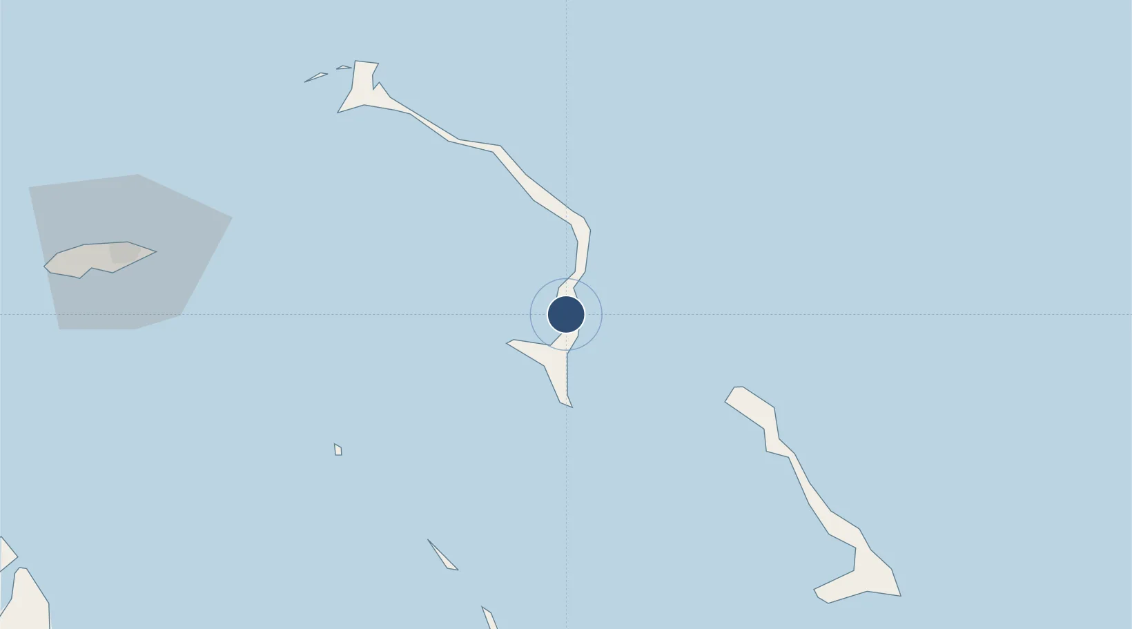
24.8916°, -76.1776°
7,213 ft
Longest runway
1
Runways
10 ft
Elevation
Runway & Layout

Radio Frequencies
UNIC
122.8 MHz
UNICOM
Runways · 1
| Runway | Dimensions | Surface | True heading | Lit |
|---|---|---|---|---|
| 09/27 | 7,213 × 150ft | Asphalt | 088° | ✓ |
Airport Specifications
IATA code
RSD
ICAO code
MYER
Airport class
Medium airport
Scheduled service
Yes
Runway surface
Asphalt
Served city
Rock Sound
Location
Nearby Logistics Neighbours
Airports
- 1Governor's Harbour Airport46 km
- 2Arthur's Town Airport59 km
- 3Normans Cay Airport73 km
- 4North Eleuthera Airport82 km
- 5Staniel Cay Airport85 km
Cities
- 1Rock Sound2 km
- 2Cape Eleuthera19 km
- 3Little San Salvador43 km
- 4Harbour Island82 km
- 5Harbour Island82 km
Ports
- 1Nassau120 km
- 2Clifton Pier139 km
- 3Cockburn191 km
- 4South Riding Point280 km
- 5Freeport318 km
Trade Zones
- 1Freeport Bahamas309 km
- 2Grand Bahama International Airport313 km
- 3FTZ No. 180 Miami (Wynwood)417 km
- 4FTZ No. 025 Broward County418 km
- 5FTZ No. 241 Fort Lauderdale427 km
DatabookThe Record of Consolidated Knowledge
Bahamas beyond logistics?