Medium airport · Bahamas

Governor's Harbour AirportMYEM
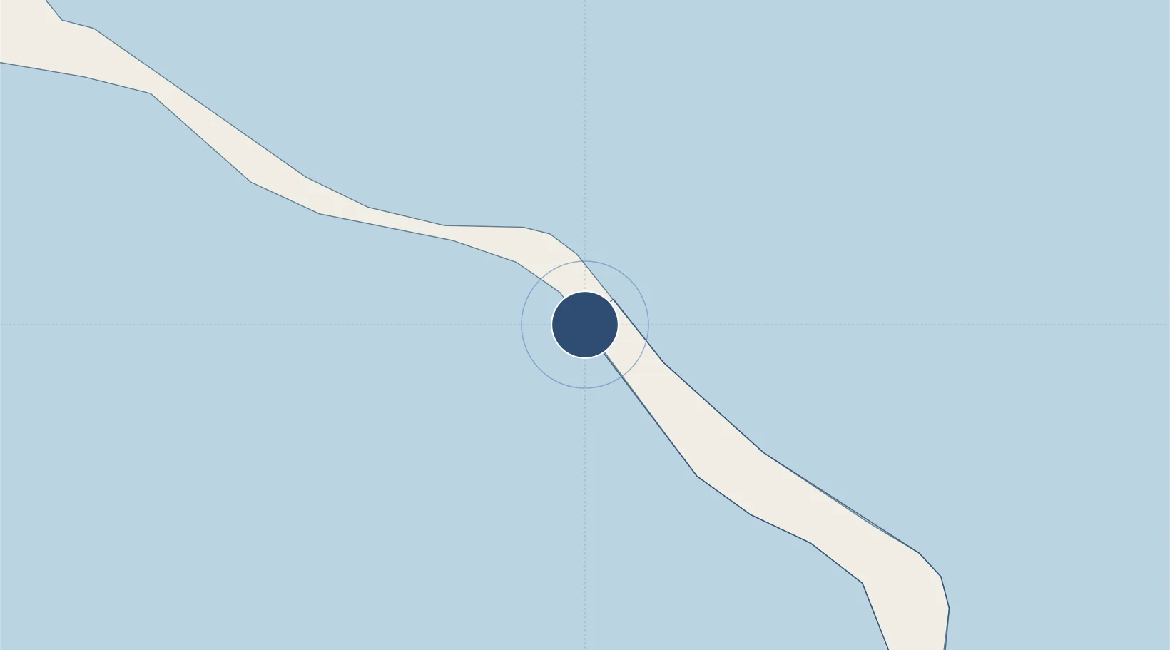
25.2847°, -76.3310°
8,024 ft
Longest runway
1
Runways
26 ft
Elevation

Runway & Layout

Governor's Harbour Airport runway & taxiway layout
Runway & taxiway layout — OpenStreetMap (ODbL) / OurAirports

Radio Frequencies

APP
121 MHz
NASSAU APP
AFIS
122.8 MHz
RDO
118.45 MHz
NASSAU RDO
OurAirports

Navaids

ZGB NDB Governors Harbour 224 kHz
OurAirports

Runways · 1

RunwayDimensions SurfaceTrue headingLit
15/33 8,024 × 150ft Asphalt 145°
OurAirports

Airport Specifications

IATA code
GHB
OurAirports
ICAO code
MYEM
OurAirports
Airport class
Medium airport
OurAirports
Scheduled service
Yes
OurAirports
Runway surface
Asphalt
OurAirports
Served city
Governor's Harbour
OurAirports

Location

Location of MYEM
Natural Earth 10m (public domain) · Central Eleuthera · MYEM · 25.28, -76.33GoogleOSMYandex

Nearby Logistics Neighbours

Airports
  1. 1North Eleuthera Airport41 km
  2. 2Rock Sound International Airport46 km
  3. 3Normans Cay Airport91 km
  4. 4Arthur's Town Airport99 km
  5. 5Lynden Pindling International Airport118 km
Nearest neighbours — logibook spatial index (haversine) over the source coordinates
Cities
  1. 1Harbour Island39 km
  2. 2Harbour Island39 km
  3. 3Rock Sound45 km
  4. 4Cape Eleuthera52 km
  5. 5Little San Salvador89 km
Nearest neighbours — logibook spatial index (haversine) over the source coordinates
Ports
  1. 1Nassau105 km
  2. 2Clifton Pier127 km
  3. 3Cockburn228 km
  4. 4South Riding Point240 km
  5. 5Freeport281 km
Nearest neighbours — logibook spatial index (haversine) over the source coordinates
Trade Zones
  1. 1Freeport Bahamas271 km
  2. 2Grand Bahama International Airport275 km
  3. 3FTZ No. 025 Broward County390 km
  4. 4FTZ No. 180 Miami (Wynwood)393 km
  5. 5FTZ No. 241 Fort Lauderdale398 km
Nearest neighbours — logibook spatial index (haversine) over the source coordinates
DatabookThe Record of Consolidated Knowledge
Bahamas beyond logistics?
Browse databook

All Sources

AirportsOurAirports
Public domain
Portsthe NGA World Port Index
Public domain (US gov)
LocationsUN/LOCODE
UN/LOCODE — free
Trade Zonesthe World Bank SEZ database
CC BY 4.0
Trade ZonesOpen Zone Map
CC BY
InfrastructureOpenStreetMap
ODbL 1.0
← Bahamas airports