Channel & Berth Profile
Pilotage, Tugs & Services
Pilotage compulsoryYES
Tug assistanceNO
Salvage tugsNO
Diesel bunkersYES
Facilities & Capabilities
Container—
Ro-Ro—
Liquid bulk—
Dry bulk—
Oil terminal—
Break bulk—
Dry dock—
Repairs—
Bunkering—
Rail link—
Dangerous cargo—
ISPS security—
Harbour Specifications
Harbour size
Very Small
Harbour type
Coastal (Natural)
Shelter
Fair
Water body
Lake Huron; Great Lakes
Overhead limit
No
Pilotage
Yes
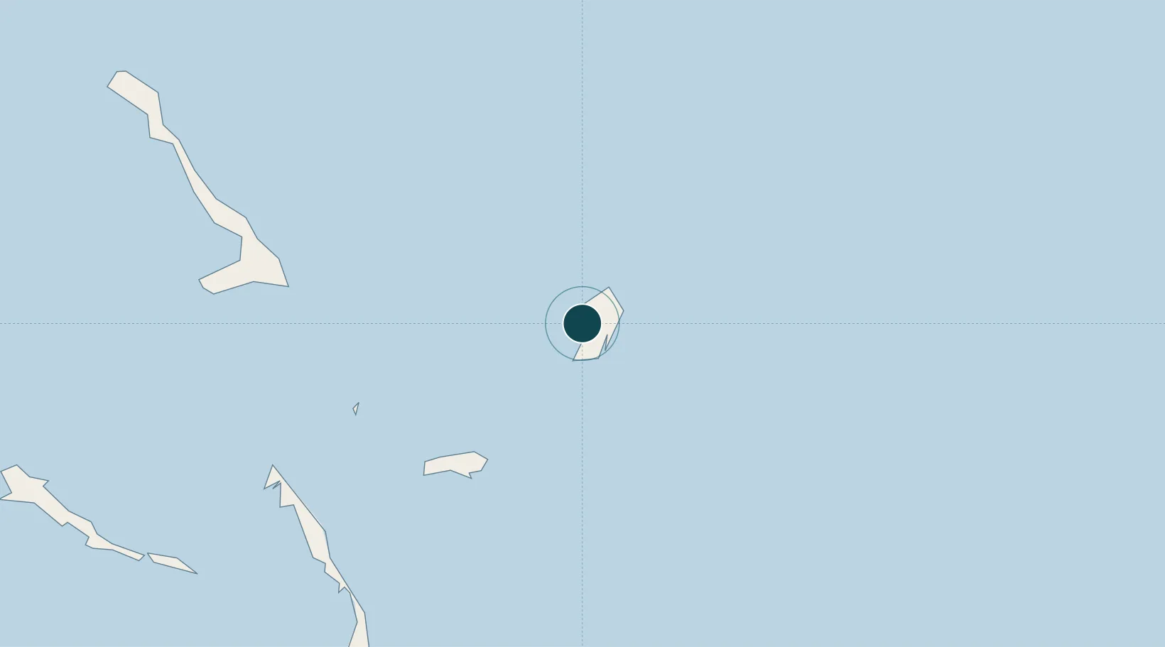
Location
Nearby Logistics Neighbours
Ports
- 1Nassau307 km
- 2Clifton Pier323 km
- 3Providenciales346 km
- 4Matthew Town356 km
- 5Vita360 km
Cities
- 1Stella Maris93 km
- 2The Bight93 km
- 3Great Exuma Island144 km
- 4Little San Salvador152 km
- 5Bock Cay168 km
Airports
- 1San Salvador International Airport2 km
- 2Stella Maris Airport91 km
- 3New Bight Airport98 km
- 4Deadman's Cay Airport112 km
- 5Hard Bargain Airport122 km
Trade Zones
- 1Freeport Bahamas499 km
- 2Grand Bahama International Airport503 km
- 3Caracol Free Zone553 km
- 4FTZ de Trou du Nord557 km
- 5Zona Franca Industrial Tamboril (ZFT)565 km
DatabookThe Record of Consolidated Knowledge
Canada beyond logistics?